Notes
19 December 2023
Efficiently Serving Geospatial Data Using Vector Tiles and PostGIS
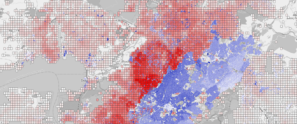
Tiles are not only pivotal for visualizing map data in browsers, but they can also revolutionize the way we store geospatial data. This article explores the use of a ’tile-based GIS’ for storing data like population distribution, utilizing PostGIS to efficiently export this data into vector tiles (MVT) for web-based dissemination.
Continue reading
10 May 2021
Personal gateway connecting SMS with XMPP or email

sms4you is a Free Software application that forwards messages from and to SMS and connects either with Jabber/XMPP or email for communication. It is nice for receiving or sending SMS, independently of carrying a SIM card.
Continue reading
29 January 2021
Report on a small study conducted
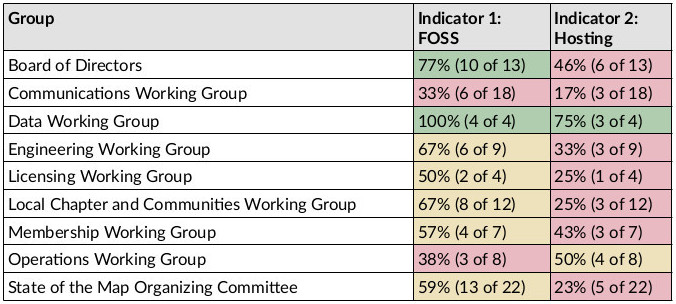
The Free and Open Source Software (FOSS) Policy Special Committee of the OpenStreetMap Foundation has been asked by the Board of Directors to assess the degree to which Free and/or Open Source Software or Services are being used within the OpenStreetMap Foundation (OSMF), the board itself, the different working groups, and committees. This analysis focuses on collaborative services to be used over the Internet. The FOSS Policy Special Committee explicitly excluded the software used by the community at large, local chapters, or systems running on personal computers.
Continue reading
18 July 2020
Elections 2020
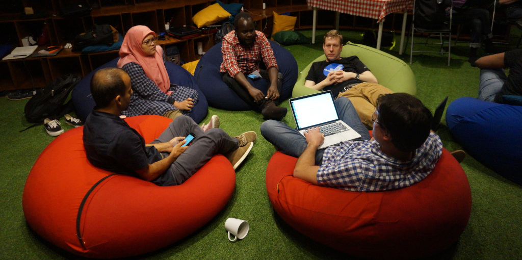
The Humanitarian OpenStreetMap Team (HOT) is opening board elections, and I am delighted to be invited by Miriam Gonzales a.k.a. Mapanauta, Nathalie Sidibe (both current board members) and Enock Seth Nyamador to run for it.
I am a long-time member of HOT, which I joined in 2013 when I was conducting mapping projects during my residency in Nicaragua. Since then I have supported HOT in many ways, from managing the website in the early days to working later as a project manager on the initial machine learning initiatives and leading the technical team to implement version 4 of Tasking Manager. Today I work as a Geospatial Data Systems Architect at the German Research Centre for Geosciences.
Continue reading
07 May 2020
Launch of version 4 of the software for teams in OpenStreetMap
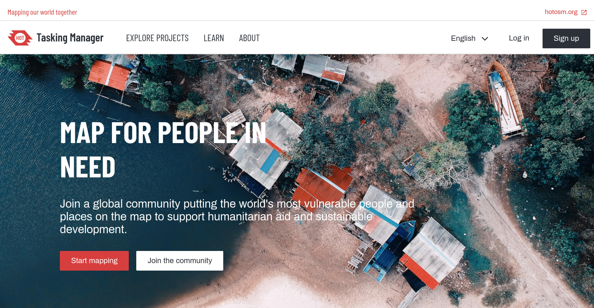
The Humanitarian OpenStreetMap Team (HOT) has launched version 4, the latest version of the Tasking Manager software. It comes with a number of enhancements that will improve users’ experience of collaborative mapping in OpenStreetMap. You can check it out now on the HOT Tasking Manager or watch this video to see it in action and what has changed.
Tasking Manager has evolved technically and visually. We were guided by our community of users, who participated in our user experience discovery, and the HOT tech team listened. We have redesigned and enhanced our user interface using state-of-the-art programming libraries.
Continue reading
08 August 2019
Three directions to choose from
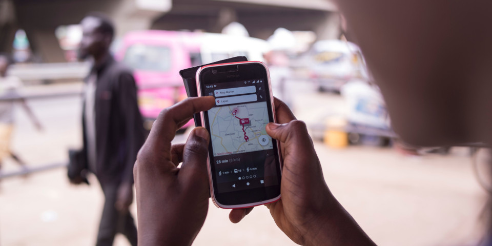
Many cities in the world need digital public transportation solutions: a World Bank study estimated for the year 2015 that 35% of the world’s largest cities and 92% of the largest cities in low- and middle-income countries do not have complete transit maps for planning or passenger information. This is currently undergoing a rapid change with new technologies. A lot of cities have started planning or implementing digital systems around public transportation data and services. One of the primary uses of technology in public transportation is to provide a passenger information system, or transit navigator or journey planning apps. This article gives a quick overview of the options cities have to successfully create one. Without reinventing the wheel – which would be a bad idea anyway – cities have three general directions they can choose from.
Continue reading
27 May 2019
The simplest Open Source passenger information system
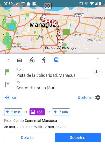
OpenStreetMap’s mobile application OsmAnd recently included time-less offline routing for public transportation in its Android version. This closes the gap between crowd-sourced mapping of public transport lines and stops and providing them directly as a useful digital tool that people can use - a minimal viable product made by and for a worldwide community of practice! Now, every single bus line that has been put on OpenStreetMap becomes directly useful for everybody who just installs the OsmAnd application. This is a huge opportunity especially for the many cities in the world with a public transportation system, but without a map of it.
Continue reading
14 March 2019
How to apply the successful and empowering principles of Agile Software Development to general project management in all kinds of contexts
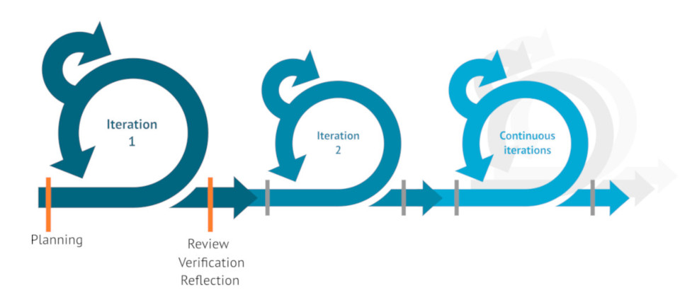
Most endeavors that involve several people or organizations require coordination. This is mostly captured by the term Project Management. This article introduces you to Agile Methodologies, which can be used in all kinds of teams.
Continue reading
02 August 2018
How OpenStreetMap data was made available to people's smartphones
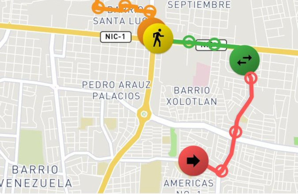
After the Nicaraguan OpenStreetMap community crowd-sourced the data of their capital’s public transportation system in OpenStreetMap with over 250 interested citizens, a schematic paper map was created from this data. In a next step, the community wanted to offer state-of-the-art routing applications to the visitors and inhabitants of Managua. For this, the data from OpenStreetMap was combined with crowd-sourced schedule information using the software tool osm2gtfs. The result is the common format for public transport data - GTFS - which could then be included in existing applications, where the data can now be used…
Continue reading
24 January 2018
Convert data from OpenStreetMap into GTFS
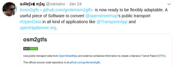
osm2gtfs is a community-based initiative for the development of a versatile tool to convert data from OpenStreetMap about public transport and combine it with external schedule information in order to create a General Transit Feed (GTFS). The software has been developed by community members from Brazil, Nicaragua, Costa Rica and France. Now osm2gtfs can be used without any programming skills when using our defined input format. And, of course, with programming skills it is always flexibly extendable to support any other city’s particularities and sources for schedules.
Continue reading
25 October 2017
Article about OpenStreetMap in the print magazine of the Austrian Scientific Exchange Service (OeAD News)
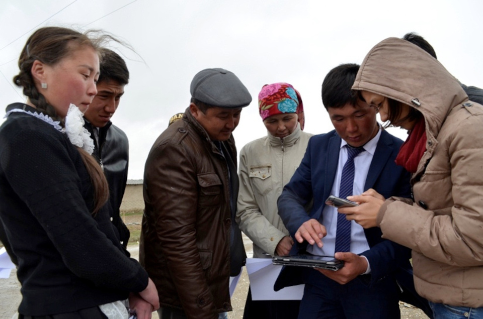
For the two students Taalaikul (15), Ulsana (16) and their teacher Kaiyrgul from the remote village of Jani-Talap, which lies on the edge of the roof of the world - on the Himalayas in the Tien Shan Mountains in Kyrgyzstan - water is the central theme. In the spring, the area is regularly flooded during the snowmelt, but after a few weeks, the wide river bed, which runs past the edge of the village, dries out for the rest of the year. The environment of the village appears dry and barren in summer, snowy in winter.
Continue reading
18 December 2016
Giving a keynote speech at the ministry's award ceremony about 'Missing Maps: Participation Technologies for Disaster Relief'
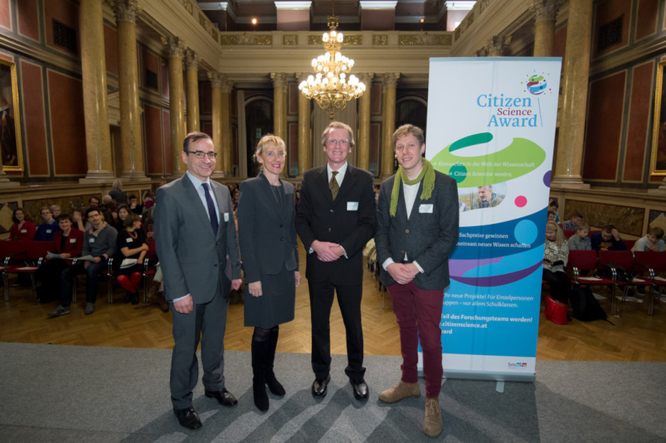
Austria’s Federal Ministry of Science, Research and Economy organizes a national competition on Citizen Science every year. In mid-December 2016, the winners were awarded in the Festival Hall of the University of Vienna. The Humanitarian OpenStreetMap Team was invited to give a talk about our work, and it was an honour to spread the word about Open Data for good.
Continue reading
06 August 2016
OpenStreetMap workshops with teachers and high school children of 10 rural villages in Kyrgyzstan
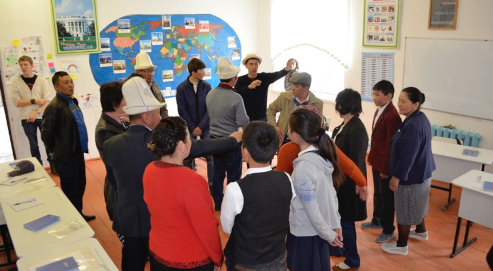
OpenStreetMap workshops with teachers and high school children of 10 rural villages in Kyrgyzstan. The Kyrgyz Mountains Environmental Education and Citizen Science project aims at developing simple tools and activities for teachers to learn and conduct scientific investigations on the water resources around their village, and make the collected data publicly available.
Continue reading
19 May 2016
Nicaragua's experience with child and youth participation
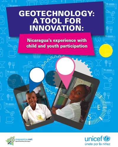
Over the last couple of years, several individuals of the Nicaraguan OpenStreetMap community MapaNica.net collaborated fruitfully on various occasions with UNICEF Nicaragua to experiment with participatory geotechnologies and children and adolescents on the Caribbean coast of the country. Jointly we created a publication about the systematization of processes carried out to empower girls, boys, adolescents and young people in the most vulnerable areas by the use and implementation of participatory technologies.
Continue reading
02 February 2016
Passengers created the public transportation map of Managua

When there is no map for the 1,670 kilometres of Managua’s metropolitan public bus network with its 45 lines, there is only one thing you and anybody can do: ask the people on the buses how to get from one point to another. The passengers of this complex and organically grown network within the capital know the most about it. And two years ago, a group of inhabitants of Managua decided on their own initiative to take on the feat and create the first bus network map in all of Central America.
Continue reading
15 January 2016
Community-Driven Design Process with Outreachy Intern
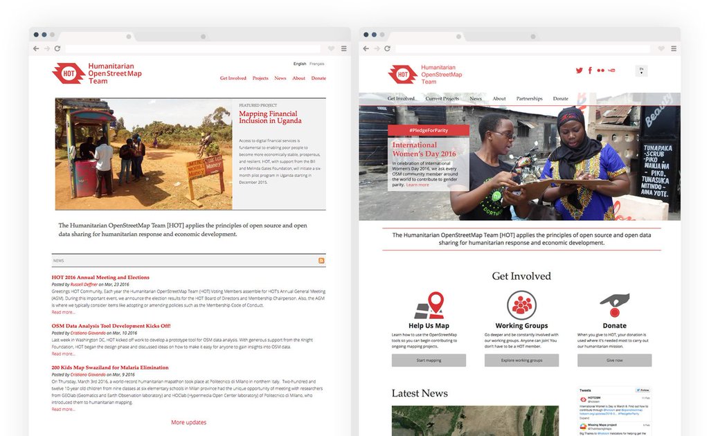
The Humanitarian OpenStreetMap Team (HOT) is an international non-profit dedicated to promoting Open Data and Free Software for disaster responders and humanitarian aid organizations. The Outreachy program offers three-month paid internships with free and open-source software projects to individuals typically underrepresented in these fields. In 2016, Moriah Ellig joined HOT as an Outreachy intern. I had the privilege of mentoring Moriah during the redesign of HOT’s official website, working closely with HOT’s board, communication, and website groups to develop a new, responsive website design.
Continue reading
18 December 2015
Wide collaboration to find a common identity for a community
In preparation for great new things we are developing in the Nicaraguan OpenStreetMap community - and which I obviously don’t want to spoil right now - we had a wonderful collaboration with Nicaragua’s most progressive design studio NINFUS to create a better logo for the community. Together with the most active people in the community we went through several iterations until we came up with this proposal. The new logo looks really great and is much more practical than before, as this has fewer colours and also works at smaller scales.
Continue reading
30 October 2015
Net Neutrality violations lead to a dark age for an Internet of opportunities and social development in Nicaragua

The basis of a free Internet, where all information packets are treated equally without any discrimination, is in danger. In Nicaragua, these developments are already leading to an internet of three classes, where the poorest have the fewest opportunities. And remarkably, people blindly fall for the shiny lies of the telecommunication industry.
Continue reading
18 May 2015
The pros and cons of a law proposal for the 'Promotion and Development of the National Broadband Network of Telecommunication Services' in Nicaragua

Not everything in the world is just black and white. And this applies also to the new initiative for the ‘Law for the Promotion and Development of the National Broadband Network of Telecommunication Services’. There are good aspects, but there are also others that lack depth, and some should be criticized and modified in the interest of the Nicaraguan people.
Continue reading
17 April 2015
New principles become old principles again - rethinking cultural creation

We are in a very extreme situation, where our laws about creative works differ a lot from the way humankind lives culture. And the new media, through its extensive connectivity to all of us worldwide, is bringing us back the thousands-of-years-old nature of celebrating read-write culture, which we had been constantly converting into read-only culture over the last century.
Continue reading
09 April 2015
Collaborative maps for social progress and education in Nicaragua
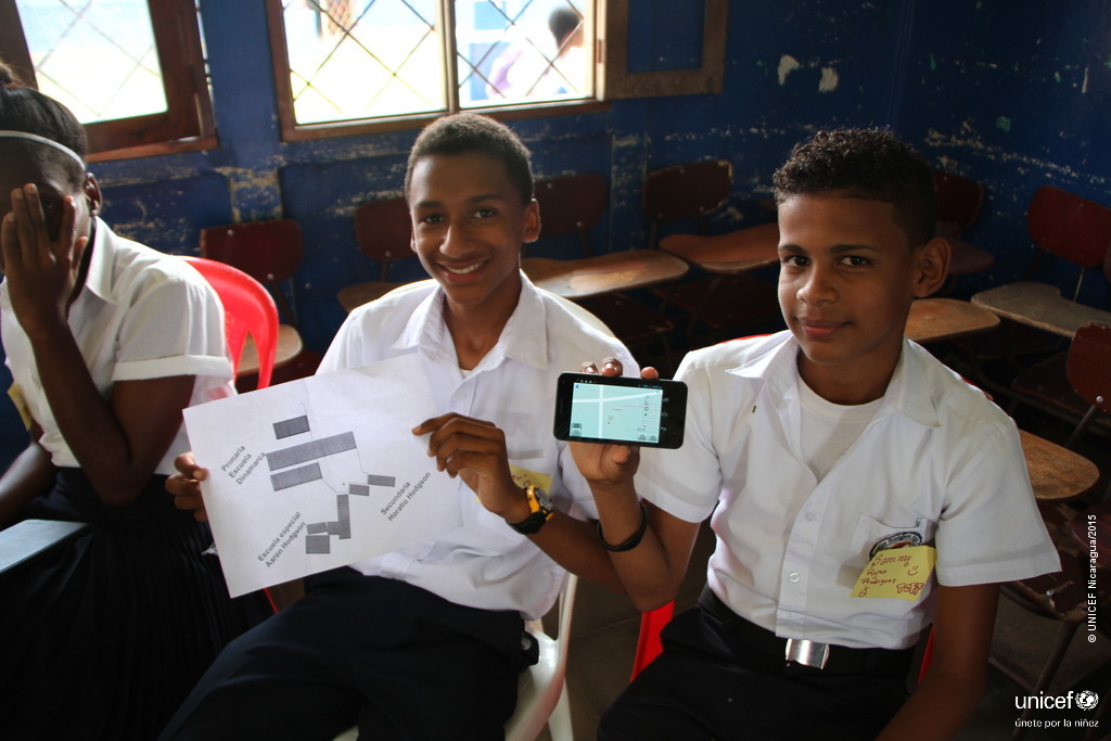
Free geodata technologies have been used to map the city of Bluefields Southern Caribbean Coast Autonomous Region (RACCS) of Nicaragua. This initiative strengthened the capacities of local actors with respect to their knowledge of social mapping. It also involved the participation of children and adolescents, as well as students and teachers from the Bluefields Indian Caribbean University (BICU) and the University of the Autonomous Regions of the Nicaraguan Caribbean Coast (URACCAN), under the coordination of MapaNica (OpenStreetMap Nicaragua) with UNICEF support.
Continue reading
29 January 2015
Testing the process of requesting CCTV video footage in the UK

During vacations, using the massive camera surveillance in the UK in order to request CCTV images from institutions or companies, instead of being disturbed all the time by taking our own photos on vacation in England. The UK’s Data Protection Act states that people are allowed to request CCTV footage of themselves.
Continue reading
06 January 2015
How the once highly praised technology has finally become available to everybody
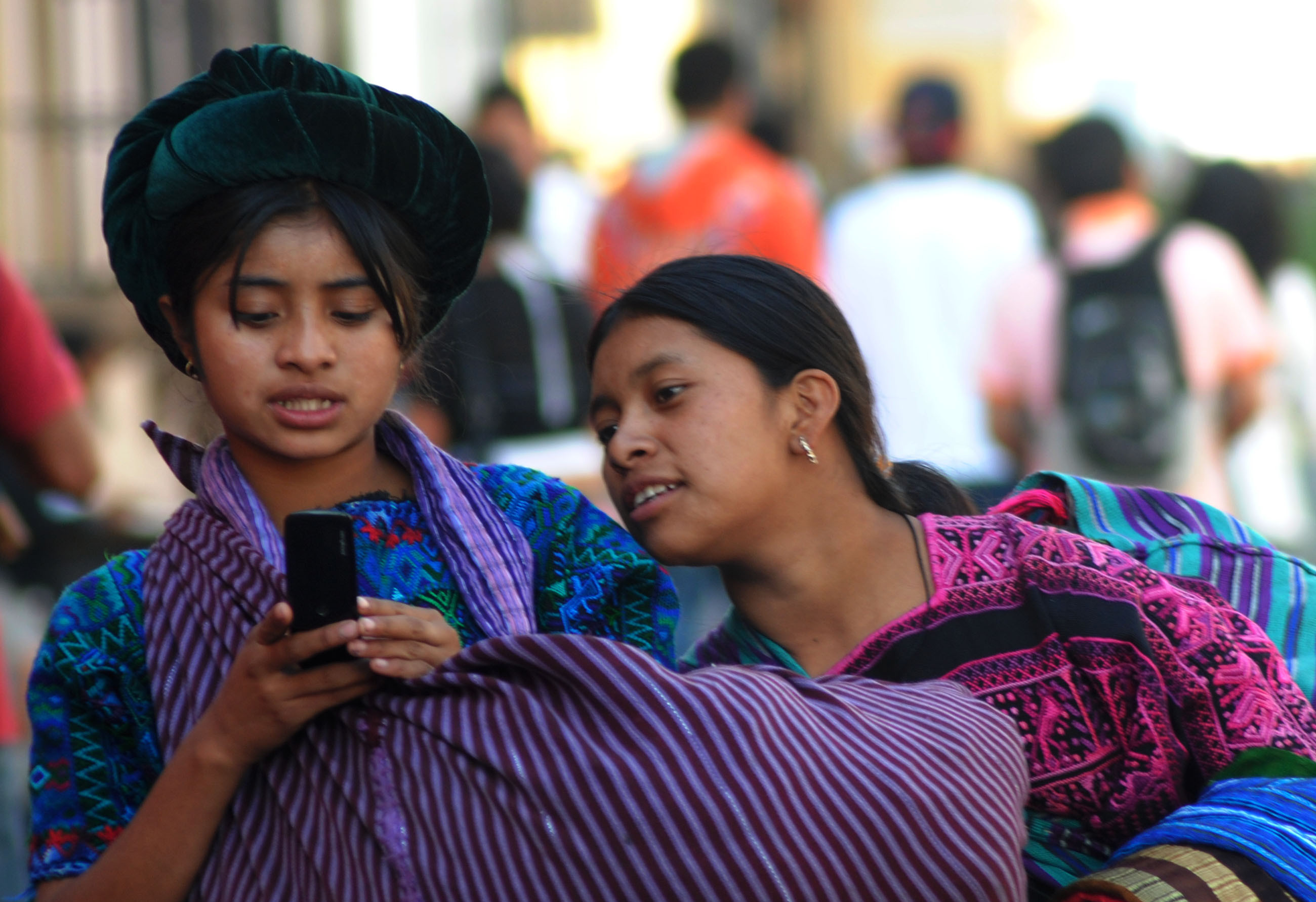
Some years ago there was hype around the use of short message service (SMS) communication solutions, especially in the IT for Development context and in countries in Africa. And indeed, some remarkable projects came out of this, such as using SMS for HIV/AIDS education in Uganda, providing farmers with relevant information through SMS in India, China, Indonesia and Nigeria, and convenient money transfer over SMS in Kenya and Tanzania.
Continue reading
26 November 2014
Four examples of how Open Data can actually help us
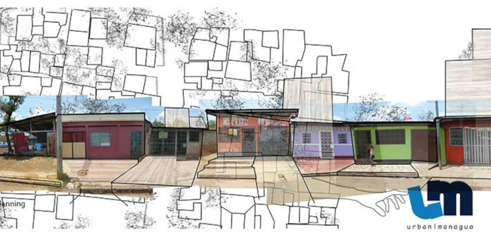
To share – it is that easy and very human, but less and less common practice. But with the Internet and new technology, humankind could leverage sharing to a new level, which would imply progress and benefit for all. There are some movements that already do this: Free Software, Open Data and a lot of artists and photographers who publish their work with explicit permission for everybody to use.
Continue reading
07 November 2014
Crowdsourcing geo information on the Caribbean Coast

Last week Porifrio and I, as members of the OpenStreetMap Nicaragua community, traveled to Bilwi, Puerto Cabezas, the capital of the Autonomous Region of the Northern Caribbean Coast. The trip was made possible with the support of UNICEF Nicaragua, which we highly appreciate. We were in Bilwi for four days to present the OpenStreetMap Nicaragua initiative and build alliances with interested groups and institutions.
Continue reading
23 September 2014
How the world is being tracked

We have built a system that allows tracking almost any person on this planet and we have not incorporated any suitable mechanism of control. We now know that all this is very out of control, but we are far from being able to do anything about it.
Continue reading
20 December 2013
Net neutrality, surveillance, censorship and the ISPs
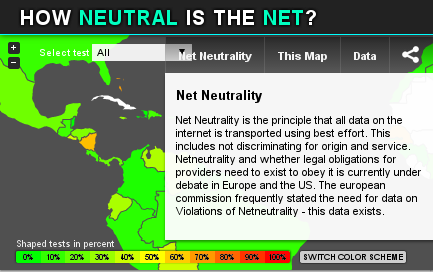
All over the world, discussions are emerging on net neutrality, online censorship and surveillance as urgent topics. As we can see, companies try to sell the internet service by service or even the data about their clients in order to make more money off of their clients. Similarly, some governments aim to control their citizens by violating the principles of a neutral web and free access to information, and by collecting data through spying on the population. Still, there are some countries, Nicaragua being one of them, that are (almost) not subject to investigation. As a resident of this lovely country, I would like to contribute by giving an overview of issues I am personally aware of, while noting that this article cannot be claimed to be fully accurate.
Continue reading
09 October 2013
Talk at Nicaragua's local TEDx event about the Nicaraguan OpenStreetMap community

This year, I participated in TEDxManagua in Nicaragua with my talk in Spanish ‘The map is in your hands’ (El mapa está en tus manos), about maps in a country where the streets have no name, community initiatives by active citizens and building the first map of Managua’s public transportation system.
Continue reading
18 August 2013
Presenting the initiatives of the Nicaraguan OpenStreetMap community
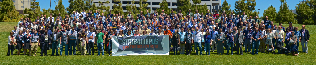
I had the honour to be invited and received a scholarship to attend and give a talk at the yearly edition of the State Of The Map US conference in beautiful San Francisco. A great community, with nice and interesting individuals and a very well organised, inspiring conference made it altogether a superb experience. It is remarkable that OpenStreetMap is a community project at a tipping point. A lot of innovation can be observed. The atmosphere of having fun with what people are doing is constantly present and a lot of start-ups and bigger companies are discovering business models using Open Geo Data.
Continue reading
16 April 2013
Mapping the bus lines of Nicaragua's capital
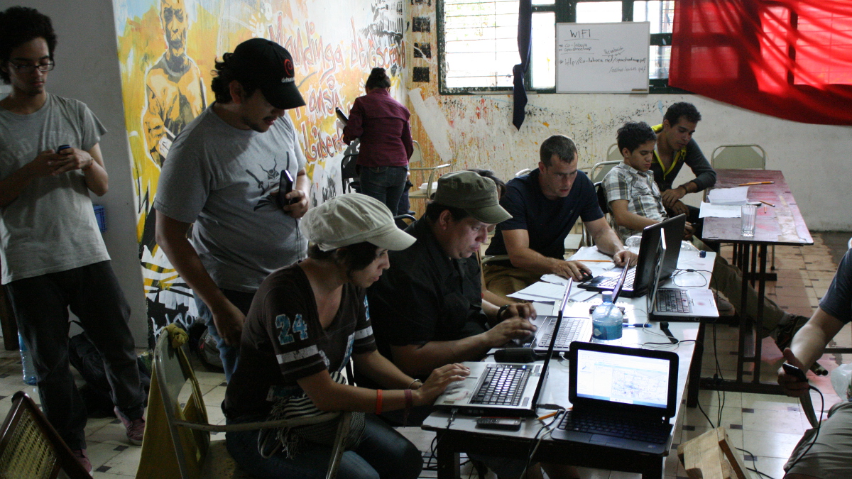
At the first OpenStreetMap event in Managua, the Mapertulia last December, we initiated the idea of getting the bus lines in Managua mapped collaboratively. So now we have started with a Mapping Party: a whole (Sun)day beginning with an introductory session in the morning, then field work – mapping on the buses. After lunch, another workshop about how to enter the information obtained in the morning into OpenStreetMap, the wonderful worldwide free and open map available for everybody to use or build upon in any way. And in the afternoon, coffee, fruit drinks, later some beers, sticking together and working, uploading the newly mapped bus lines to the global server.
Continue reading
19 March 2013
Loja, Ecuador
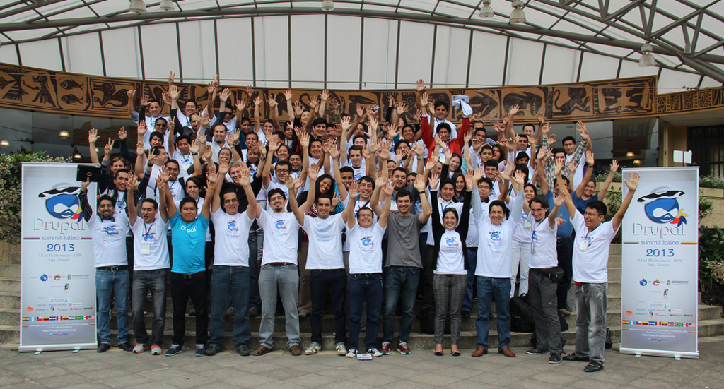
The third Drupal Summit Latino, held from March 13th to 15th, 2013, in Loja, Ecuador, followed the successes of the first two Summits in Lima, Peru, and Guadalajara, Mexico. This event once again united the Drupal community from all over Latin America to share knowledge, foster connections, plan future activities, and enjoy the camaraderie. Hosted by the Universidad Tecnica Particular de Loja, the event provided a perfect setting with ample facilities for BoFs, speakers, and five tracks of simultaneous sessions.
Continue reading
01 March 2013
The First Drupalcamp in Bolivia
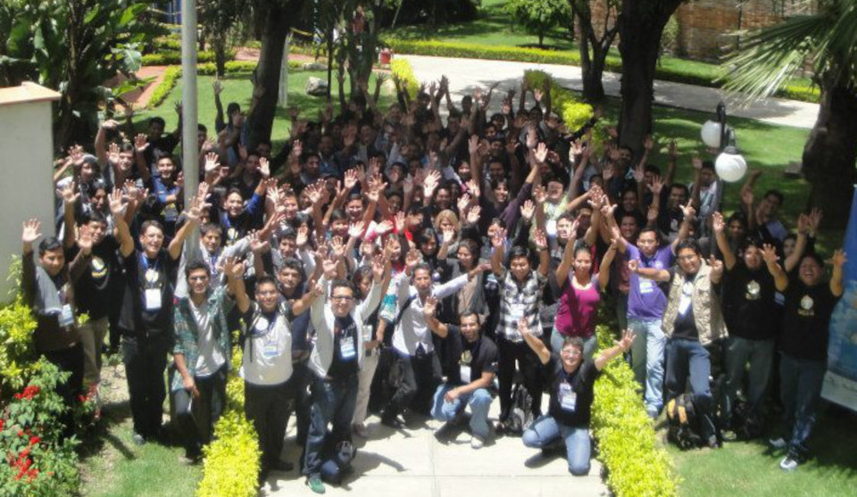
The first DrupalCamp in Bolivia took place from February 21st to 23rd, 2013, at the Universidad Católica Boliviana ‘San Pablo’ in Cochabamba, a city affectionately known as ‘Llajta’ (Quechua for ‘perfect place to live’). This event marked a significant milestone, bringing three days of Drupal to Bolivia, organized by the local community with the support of international specialists. The event was extended to four days with an additional pre-event code sprint for the Devel module, led by Juan Pablo. This sprint was a significant initiative, encouraging more people to contribute, learn, participate, and actively shape the Drupal open source project.
Continue reading
13 February 2013
The First Co-working Office in Managua
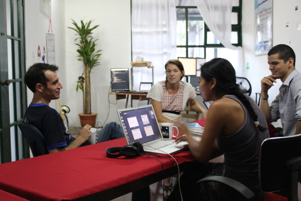
Inspired by co-working spaces I’ve encountered globally and seeking to move beyond the solitude of working from home, Leandro Gomez and I embarked on creating Nicaragua’s first creative co-working space, co-labora. We found a perfect match in the Cultural Center Quilombo, sharing a similar spirit and philosophy, and established co-labora as a physical space for freelancers, startups, and innovators to thrive.
Continue reading
21 December 2012
Community Building Around OpenStreetMap in Nicaragua

The first ‘Mapertulia’ marks a significant step in the growing interest in mapping within Managua, Nicaragua. This initiative emerged following several mapping-related activities, including a mapping party with students at the Universidad Centroamericana to enhance the OpenStreetMap data used for a map created for the Debian Conference 2012. Additionally, a recent talk I gave about Open Data at the National Festival about Free Software, focusing on OpenStreetMap, further fueled this interest. The Mapertulia brought together about 30 individuals eager to learn more about collaborative mapping and the benefits of using open maps.
Continue reading
07 August 2012
DebConf12 in Nicaragua

DebConf is a highlight of the Debian year, when the community comes together for hacking, presentations and discussion sessions, and just to spend time face-to-face with other contributors who are normally only names on a mailing list or nicks on IRC. This year DebConf took place in Managua, in the beautiful Central American country of Nicaragua.
Continue reading
18 April 2012
Registration is open
This year, the 13th Debian Conference (DebConf) is going to take place for the first time in Central America. From the 8th to the 14th of July 2012, developers and contributors of the universal operating system from all over the world are heading to Managua, Nicaragua. Last year’s DebConf, hosted in Bosnia-Herzegovina, had over 350 attendees from 46 countries.
Continue reading
18 April 2012
A Simple Yet Powerful Tool for Visualizing Agrarian Conflicts for Via Campesina - International Peasant Movement
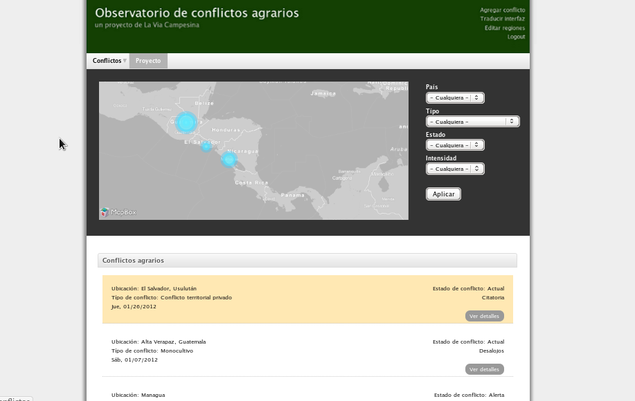
Central American activists from La Via Campesina sought my assistance in building an online observatory for agrarian conflicts. Launched on the International Day of Peasant’s Struggle, this website serves as a vital tool for global unity among peasants, landless, women farmers, and rural youth. Developed using Drupal, it effectively stores and visualizes critical data about regional conflicts.
Continue reading
13 June 2011
Third Annual DrupalCamp in Central America
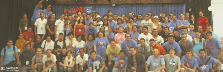
In June 2011, the third DrupalCamp in Central America was held at the Pacific Campus of the University of Costa Rica in Puntarenas. The event was attended by 168 individuals from across Central America, including Costa Rica, El Salvador, Guatemala, Honduras, Nicaragua, and Panama, as well as guests from Colombia, Germany, Peru, and the United States. The camp drew a diverse crowd from different Drupal communities, private sectors, and public institutions, comprising graphic designers, marketers, service providers, software and web developers, and Drupal and Free Software trainers. Additionally, there was significant participation from students and faculty of the University of Costa Rica.
Continue reading
14 February 2011
First Drupal Event for the Entire Latin American Audience
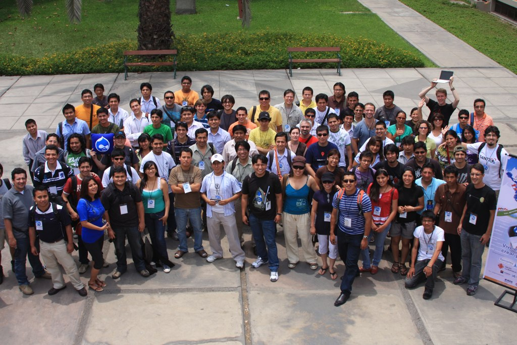
As part of the main organizing team, I am delighted to share insights about the first Drupal event oriented towards the entire Latin American audience, which took place in Lima, Peru, from January 27th to 29th, 2011. The event saw over 250 participants from 16 Latin American countries, as well as attendees from Belgium, Spain, and the USA, coming together to exchange knowledge and experiences about Drupal. These three days, which I fondly regard as historic, provided an opportunity for attendees to meet and network, laying the foundation for future collaborations and the formation of a global Spanish-speaking Drupal community.
Continue reading
01 July 2010
Celebrating Drupal in Central America for the Second Time
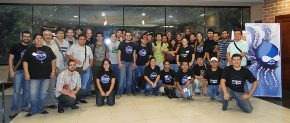
Last weekend (25 and 26 June 2010), the second DrupalCamp in Central America was hosted at the INTECAP education center in Guatemala. Attracting 264 participants, the event more than doubled the attendance of DrupalCamp 2009 in Nicaragua. The event convened a diverse mix of professionals including developers, designers, users, and representatives from national and international companies, all gathered to discuss the Drupal CMS/Framework. A key aim of DrupalCamp was to strengthen and expand the burgeoning Drupal community in Central America.
Continue reading
22 June 2009
Getting to know the movements and communities
From the 17th of June to the 21st of June 2009, the First Central American Free Software Summit took place in Nicaragua’s northern mountains close to Estelí. Over 80 people met from all Central American countries and some others from all over the world (Mexico, Venezuela, Spain, Austria and Germany). Everybody was connected through the common ideology of Free Software and sharing. The majority of the attendees actively participate in local Linux User Groups in their countries. At the summit, everybody loved to discuss topics like Free Software and government, translation and adaptation of open licenses to local jurisdictions, and the role of women and Free Software in education.
Continue reading
20 April 2009
Organizing the First DrupalCamp in Central America
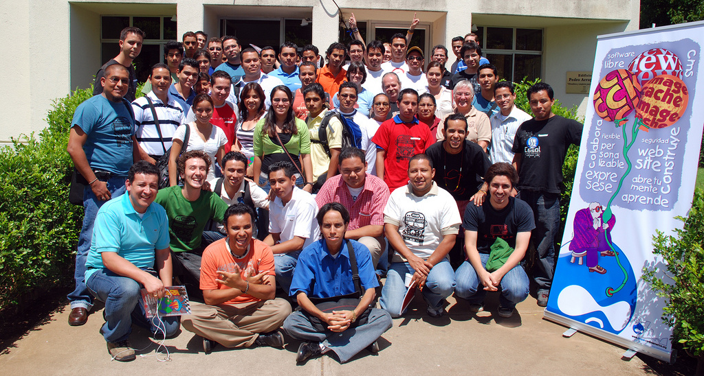
The inaugural DrupalCamp in Central America was held on April 18th in Managua, Nicaragua. This all-day event was dedicated to fostering a community of professional Drupal developers across all Central American countries.
Continue reading
01 January 2004
Chemistry Research Project - Jugend Forscht
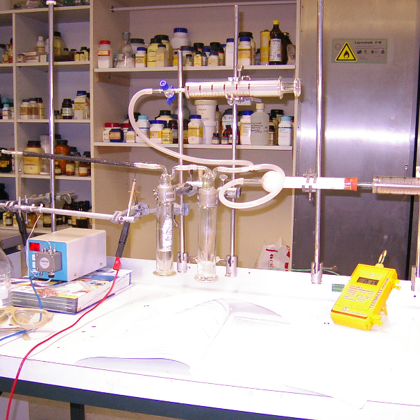
We participated in the regional event of Jugend Forscht (youth researches) - a prominent German youth science competition - with our innovative research on methanol as a potential alternative liquid fuel. This project aimed to address the challenges associated with pure hydrogen usage.
Continue reading