![]() The increasing interest in mapping in Managua, Nicaragua, has led to the inception of the first ‘Mapertulia’. This initiative was spurred by various activities, including a mapping party conducted with students at the Universidad Centroamericana. The goal was to enrich the OpenStreetMap data, which was notably used for a map I created for the Debian Conference 2012. Moreover, my recent talk on Open Data at the National Festival about Free Software, highlighting OpenStreetMap as a prime example, has contributed to this growing enthusiasm.
The increasing interest in mapping in Managua, Nicaragua, has led to the inception of the first ‘Mapertulia’. This initiative was spurred by various activities, including a mapping party conducted with students at the Universidad Centroamericana. The goal was to enrich the OpenStreetMap data, which was notably used for a map I created for the Debian Conference 2012. Moreover, my recent talk on Open Data at the National Festival about Free Software, highlighting OpenStreetMap as a prime example, has contributed to this growing enthusiasm.
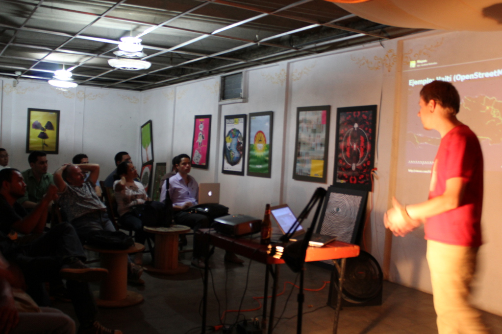
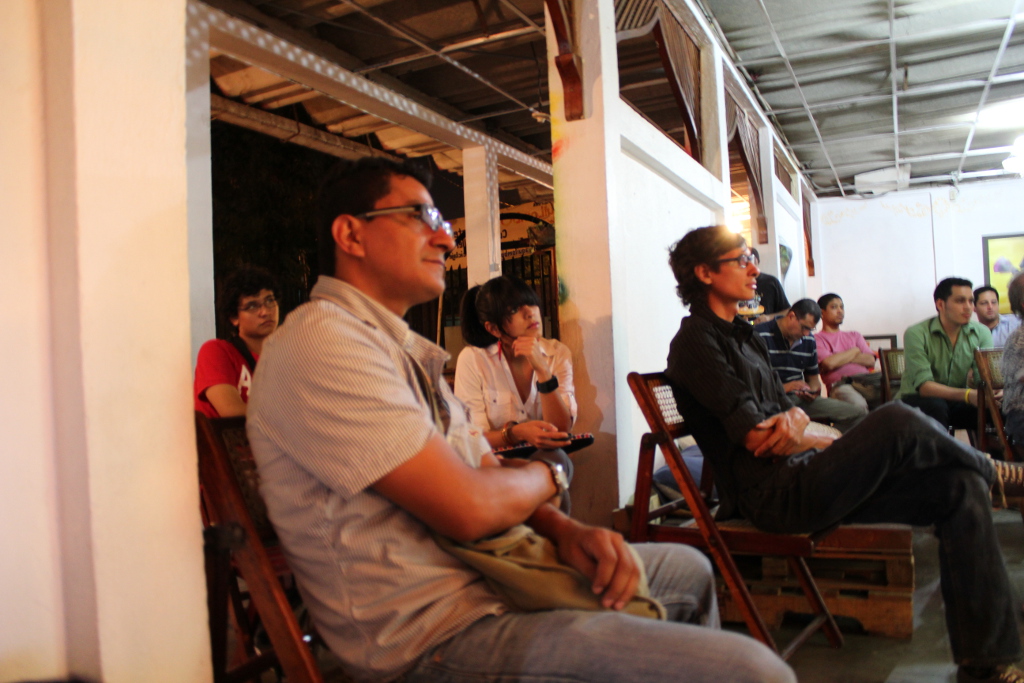
In response to this heightened interest, I proposed a meeting centered around OpenStreetMap, resulting in the first “Mapertulia”. The event was well-received, attracting about 30 people curious about the world of collaborative mapping and how to leverage open maps for their advantage.
Following the success of the Mapertulia, we launched a local mailing list for Nicaragua to foster further community engagement. This enthusiasm also kick-started a new community project: Mapping the bus lines in Managua. This project promises immense utility for both residents and visitors of the city, as currently, comprehensive knowledge of the bus routes and their locations is lacking.