 This is a résumé about the latest mapping efforts by the OpenStreetMap
Nicaragua community, I used extracts from articles published in
newspapers and online websites:
This is a résumé about the latest mapping efforts by the OpenStreetMap
Nicaragua community, I used extracts from articles published in
newspapers and online websites:
Introduction
Free geodata technologies have been used to map the city of Bluefields Southern Caribbean Coast Autonomous Region (RACCS) [of Nicaragua]. This initiative strengthened the capacities of local actors with respect to their knowledge of social mapping. It also involved the participation of children and adolescents, as well as students and teachers from the Bluefields Indian Caribbean University (BICU) and the University of the Autonomous Regions of the Nicaraguan Caribbean Coast (URACCAN), under the coordination of MapaNica (OpenStreetMap Nicaragua) with UNICEF support.
Source: UNICEF Nicaragua: Bluefields has its first collaborative map - online
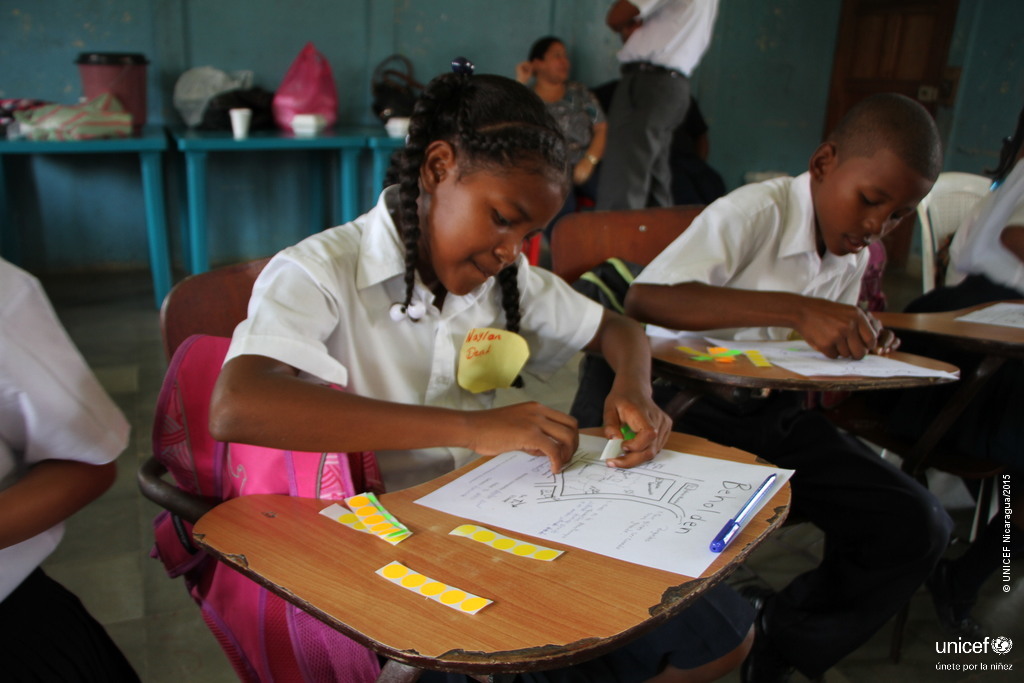
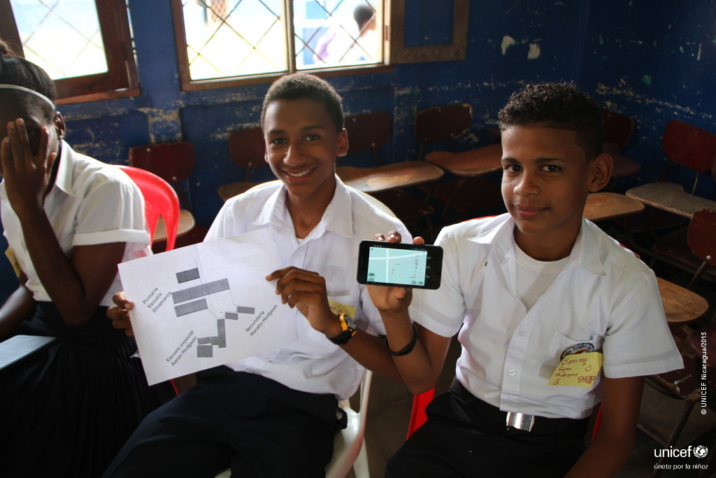
Giving voice to adolescents through the use of maps

The MapaNica team also facilitated a workshop for 32 students from the fifth grade of the Denmark School and the ninth grade of the Horatio Hodgson School. The workshop allowed the students to learn about the utility of maps both in terms of reaching a particular place and better understanding the surroundings and socio-cultural characteristics of each area.
Source: UNICEF Nicaragua: Bluefields has its first collaborative map
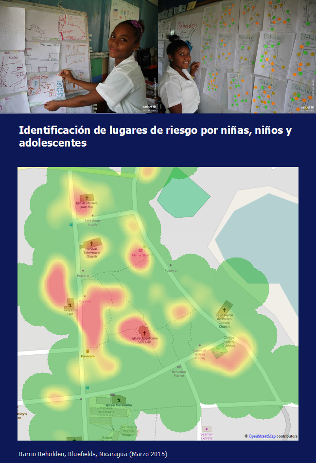
During the workshops different dynamics and plays were used, one of them, was the students to express their perspective of the perception of danger and risk in the neighbourhood Beholden, where the school is located.
Source: MapaNica Blog - Emoción mapeadora en Bluefields - Spanish - online
After this mapping, the OpenStreetMap team could generate heat-maps, which let observe the perception of danger the children have about the neighbourhood of their schools.
Source: ManaguaFuriosa.com - Tomando el espacio en tus manos
Workshops in local universities
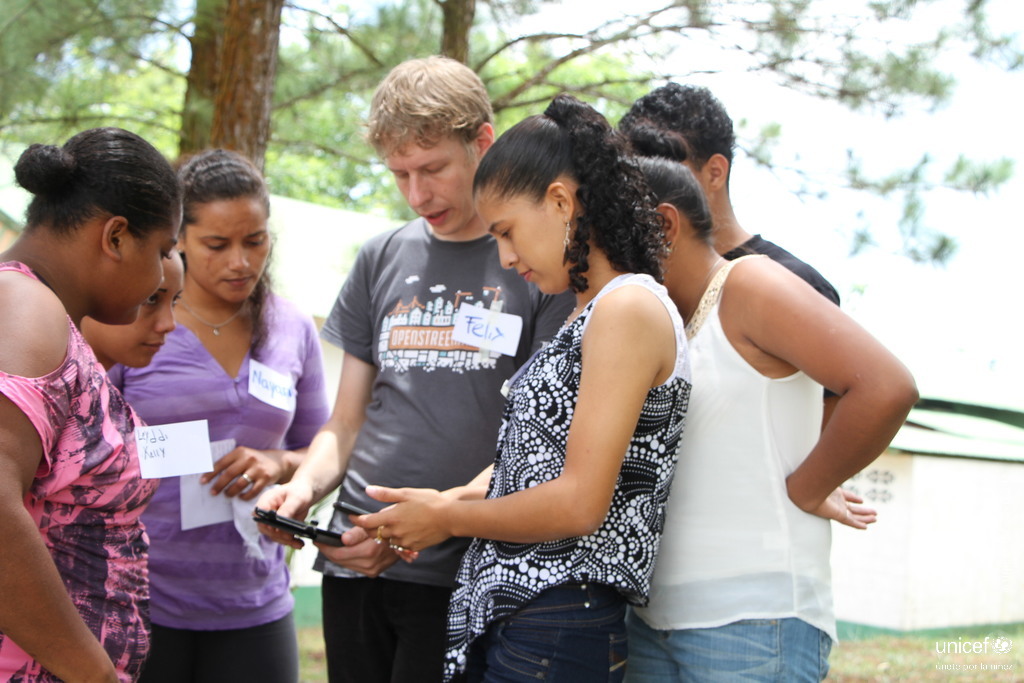
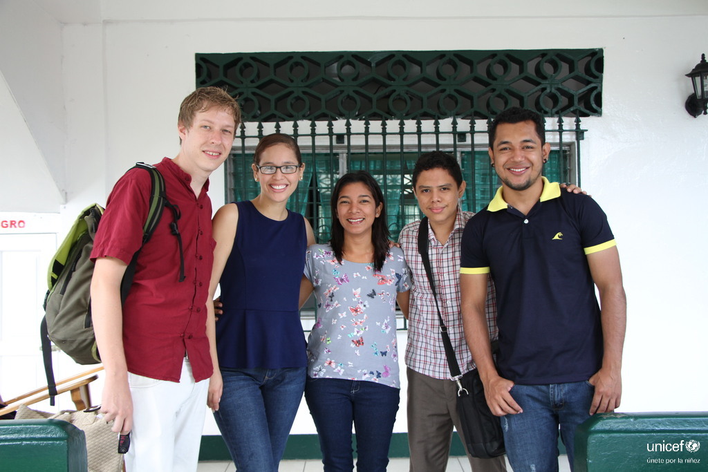
As well in coordination with the Innovation Laboratory of the BICU university and the Free Software community from the URACCAN university, two mapping parties with a total of over 50 participants were held. Teachers, officials from the regional governments and students from different careers, such as communication, business administration, public accountancy, architecture, computer science and others, assisted and mapped their universities.
Source: MapaNica Blog - Emoción mapeadora en Bluefields -Spanish
Source: La Prensa Nicaragua
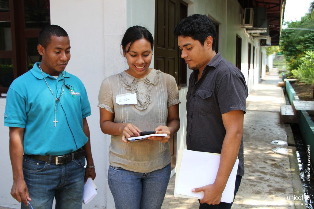
Twenty-three-year-old Dina Castillo, who recently graduated from BICU and participated in the workshop, said that she is sure she will use this technology again in her community. “It is a very useful tool when it comes to seeking innovative solutions to the social problems we are facing,” she added.
Source UNICEF Nicaragua: Young people from Bluefields looking for solutions through mapping and free technologies - online
Mapeo de la ciudad
Un logro de la jornada fue la identificación de quinientos puntos de interés geográficos, que contribuyó a la creación del mapa base de la ciudad. [...] El mapeo fue objeto de discusión durante un encuentro de intercambio con autoridades municipales y representantes de diversas organizaciones de Bluefields [...].
“There are places we don’t know about and which we don’t have access to due to their distance, but with a map we can reach those communities with a greater incidence of cases of violence”, said Erundina Hernández, Women´s Secretary for the RACCS.
According to Inés Hernández of the RACCS Government’s Water and Sanitation Directorate, “Many people have died in the rural areas due to flooding and if we had the location it would be easier to find them. There are six neighbourhoods with risk points in the urban area.”
“These kinds of initiative share new knowledge and encourage innovation. They also include children and adolescents, giving them the opportunity to participate as thinkers and implementers, identify places of risk and propose solutions to the problems. These experiences can change children’s lives and also have the potential to change their environment and—why not?—the world.”, commented Philippe Barragne-Bigot, the UNICEF Representative in Nicaragua.
Source La Prensa Nicaragua, 26.03.2015, printed/online
During the city mapping we also contributed to the crowdsourced street level photos platform Mapillary: 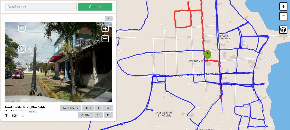
For more information check out the following links: