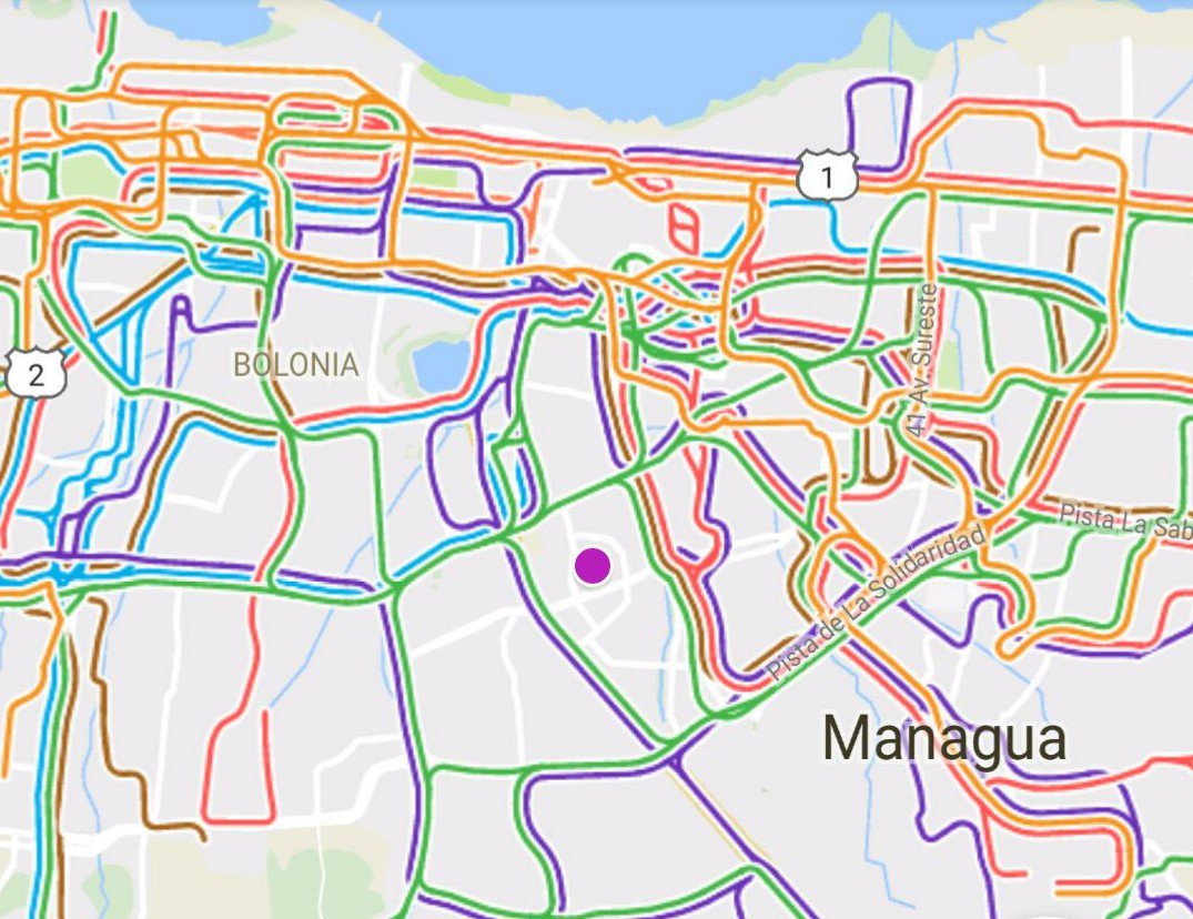
After the Nicaraguan OpenStreetMap community crowd-sourced with over 250 interested citizens the data of their capital’s public transportation system in OpenStreetMap, a schematic paper map was created from this data.
In a next step the community wanted to offer state-of-the-art routing applications to the visitors and inhabitants of Managua. For this, the data from OpenStreetMap was combined with also crowd-sourced schedule information by the Sofware tool osm2gtfs. The result is the common format for public transport data - GTFS -, which was then possible to include into existing applications, where the data can be used now:
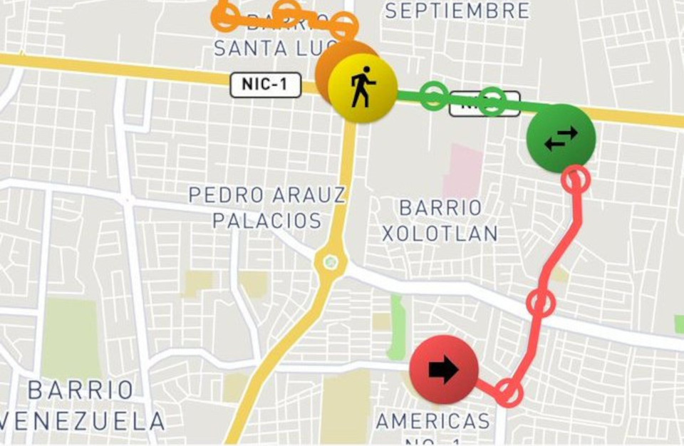
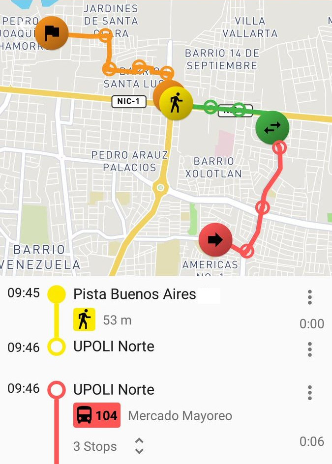
Managua is available in the following mobile aplicaciones
Transportr: Public transport route planner for Android. Because its convenience and its characteristic of being Free Software, it is the best option for users of the collective transport.
TransitApp: Travel assistant and route planner. Application for Android and iOS that tells you how to move around the city using public transport or bicycle. The application uses the data of the users to estimate the positions of the routes in real time.
Download the apps and try them yourself!
How it was done:
 In the first place the whole effort has been a grounded on the collaboration of many actors, from hundreds of curious and active citizens and students to gather the data, members of the Nicaraguan Free Software communities, who provided high level technical work, a group of international initiatives that collaborated on programming the missing Software to make this pioneer work happen, donours through our crowdfunding campaign, organizations like the Humanitarian OpenStreetMap Team, that collaborated in communication and provided a legal base for the handling of funds, and last but not least, the partnerships with companies that included the data in their products to offer a reliable solution to offer the services to a larger group of consumers. But let’s get a bit into detail:
First we created a GTFS with osm2gtfs. The GTFS is available at: The Nicaraguan OpenStreetMap community’s data platform
Then, we partnered up with the following initiatives and companies to include the data into different services:
- Published on transit.land - the most relevant library of open GTFS data.
- Integrated into the online routing service Navitia, hosting kindly provided by Kisio Digital.
- Included the Navitia endpoint into the public-transport-enabler, through a respective pull request to make it available in Transportr.
- Direct integration into the commmercial application TransitApp, through the company behind the Software.
Thanks to everybody involved to make this happen!
