 At the first OpenStreetMap event in Managua — the Mapertulia last
December —
we initiated the idea of collaboratively mapping Managua’s bus lines.
We have now launched a Mapping
Party: a full
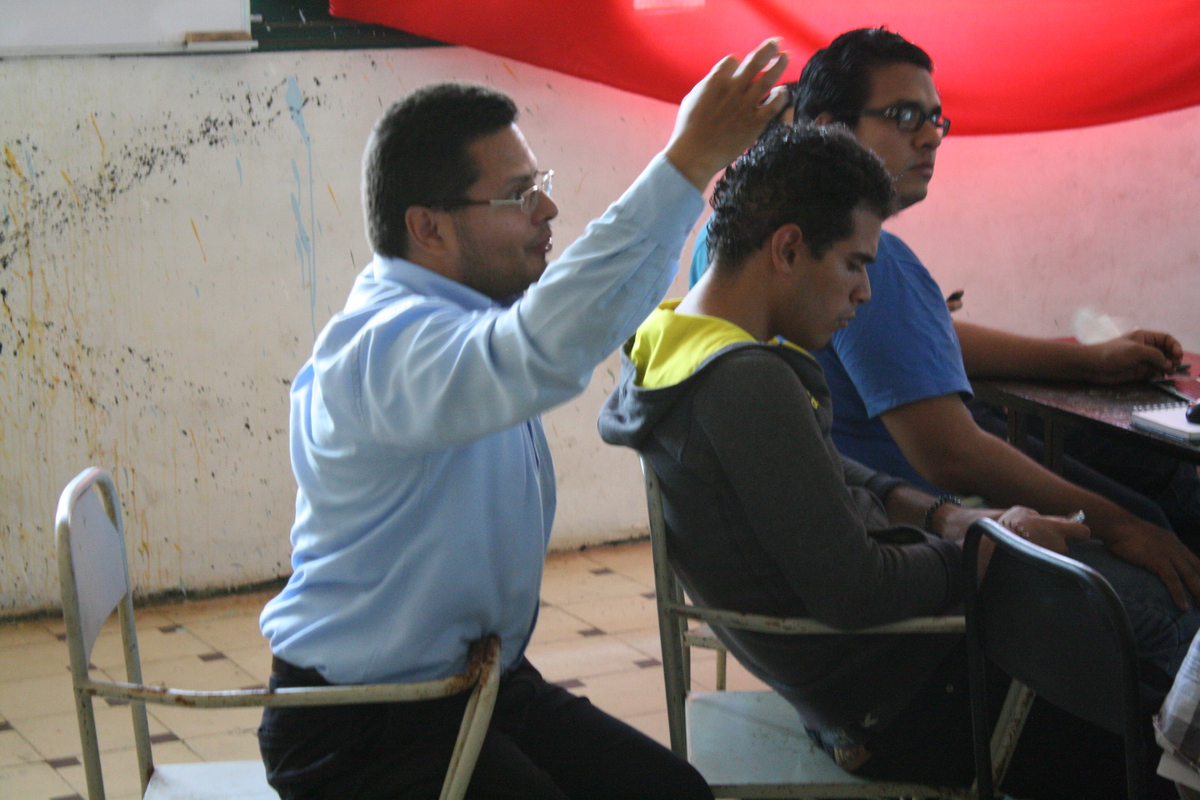
Sunday beginning with an introductory session in the morning, followed by
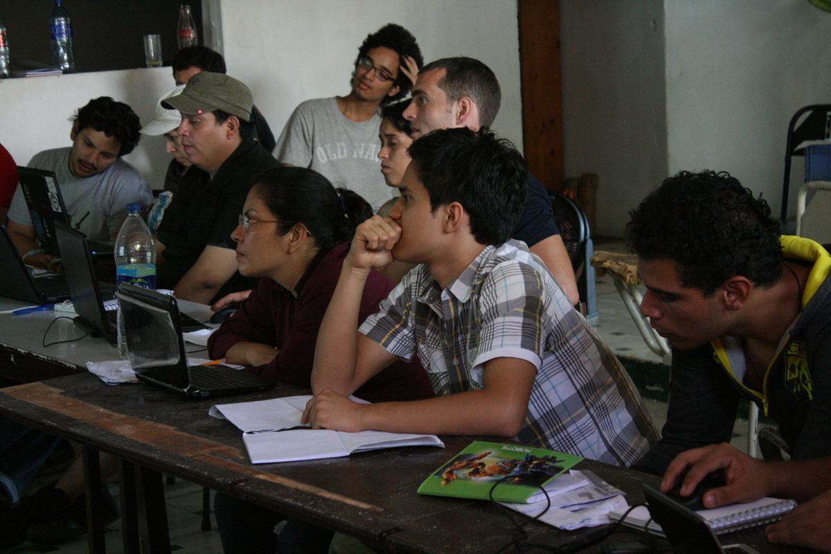
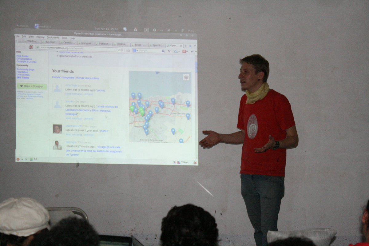
field work — mapping on the buses. After lunch came another workshop on
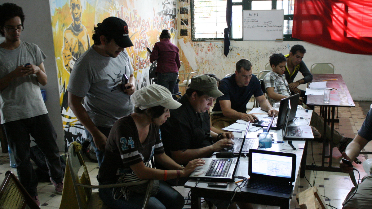
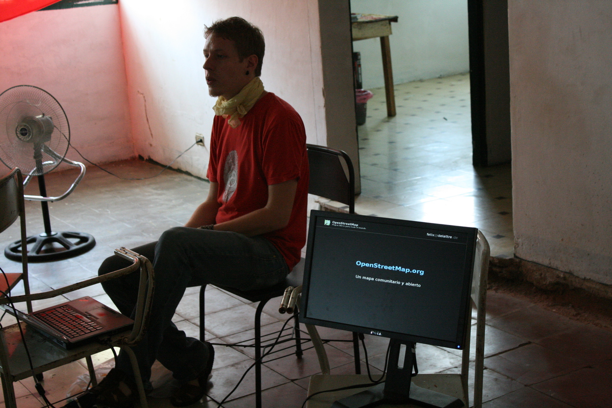
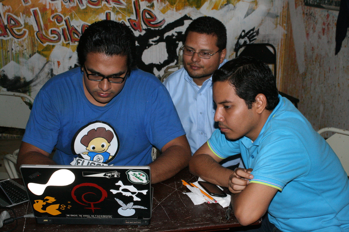
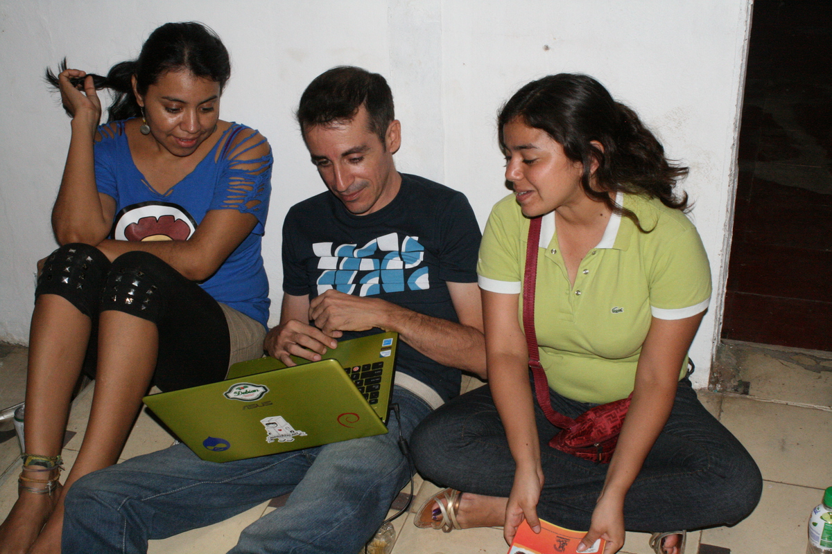
how to enter the morning’s collected data into
OpenStreetMap, the wonderful worldwide
free and open map available for everyone to use or build upon. And in
the afternoon, coffee, fruit drinks, and later some beers, working
together to upload the newly mapped bus lines to the global server.
At the first OpenStreetMap event in Managua — the Mapertulia last
December —
we initiated the idea of collaboratively mapping Managua’s bus lines.
We have now launched a Mapping
Party: a full
Sunday beginning with an introductory session in the morning, followed by
field work — mapping on the buses. After lunch came another workshop on
how to enter the morning’s collected data into
OpenStreetMap, the wonderful worldwide
free and open map available for everyone to use or build upon. And in
the afternoon, coffee, fruit drinks, and later some beers, working
together to upload the newly mapped bus lines to the global server.
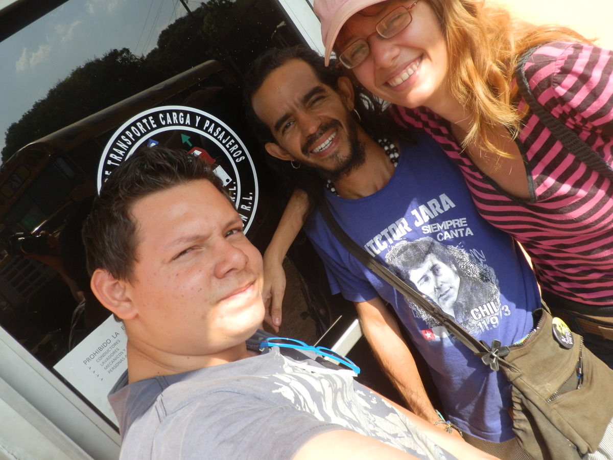
Cheers to the sponsor MapBox who generously invited everybody to food, drinks and the bus fares! The event has taken place at co-labora, Managuas co-working office space.
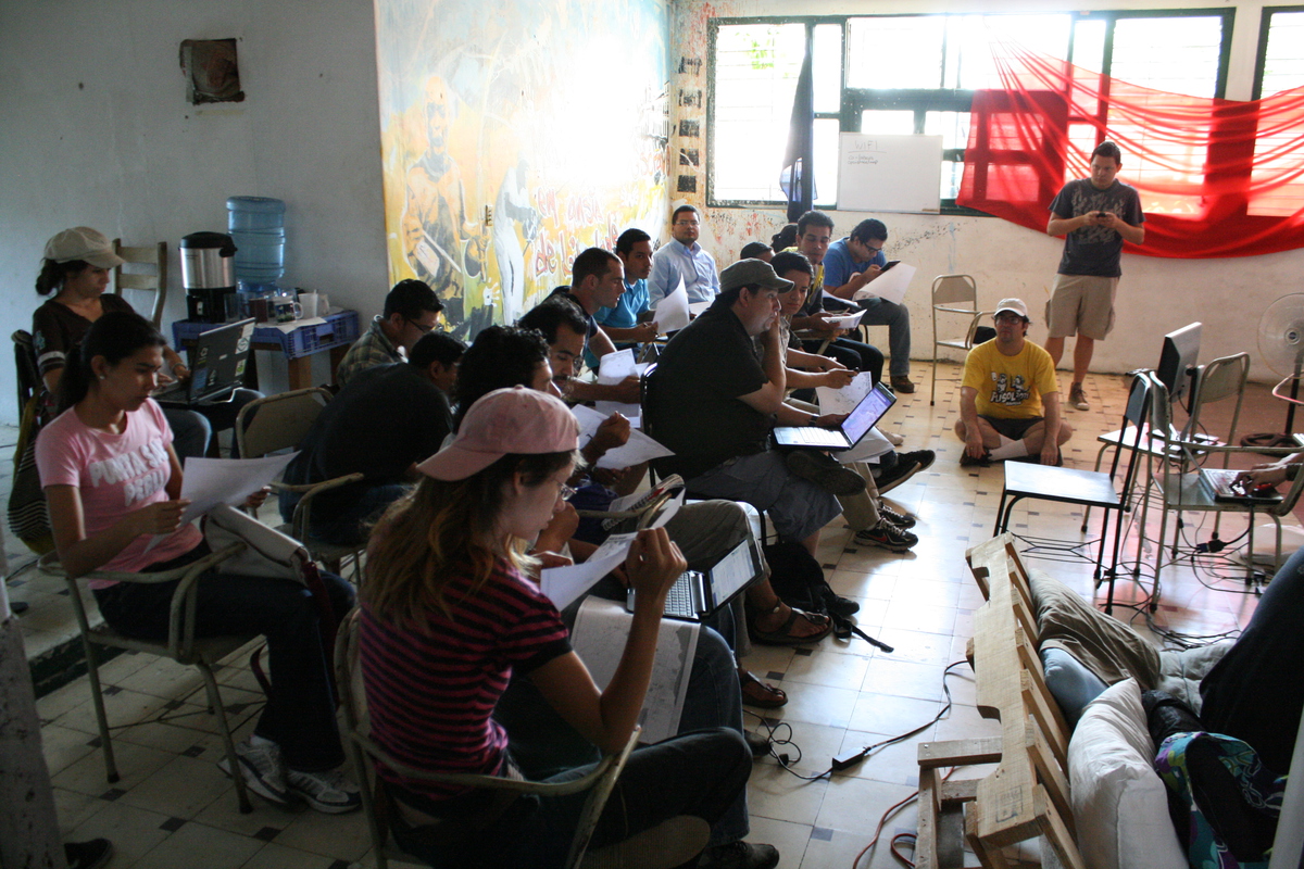
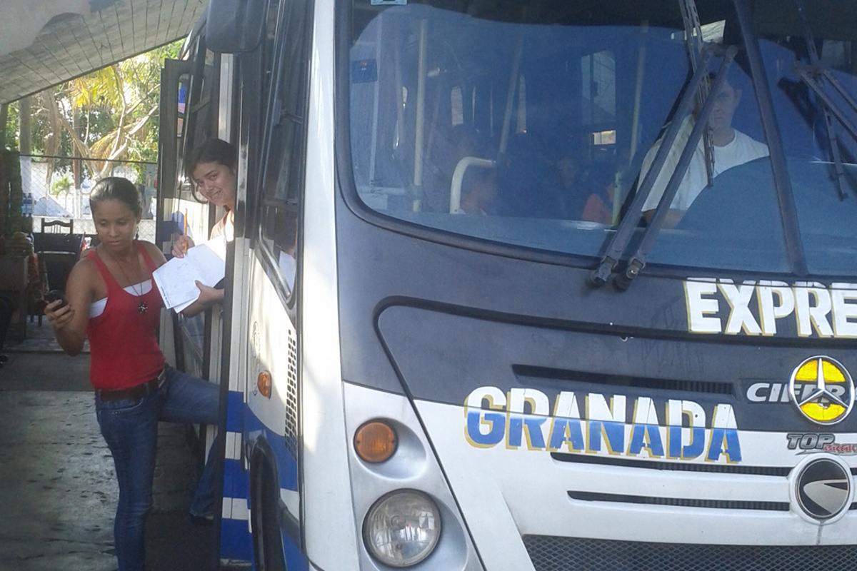
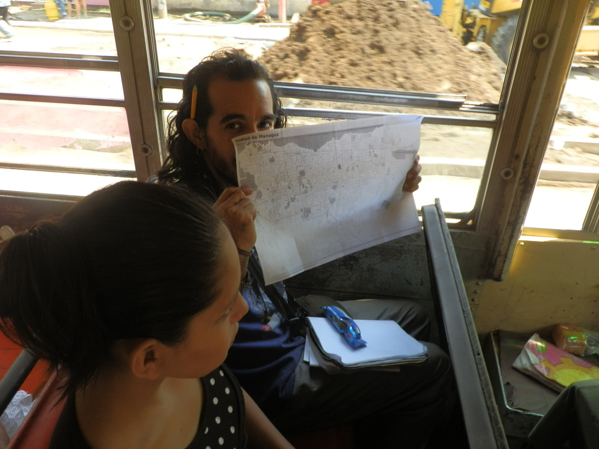
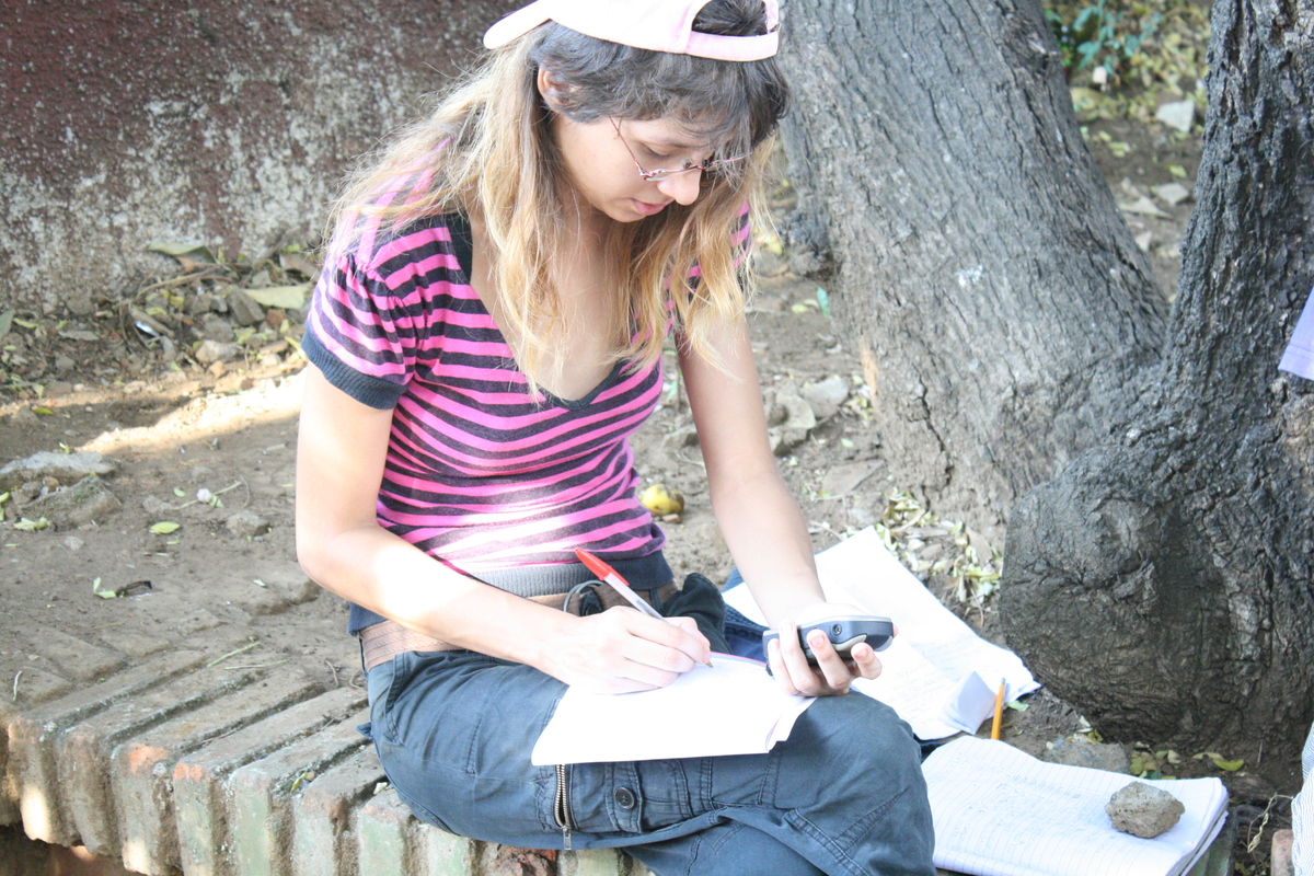
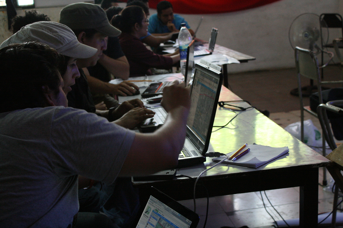
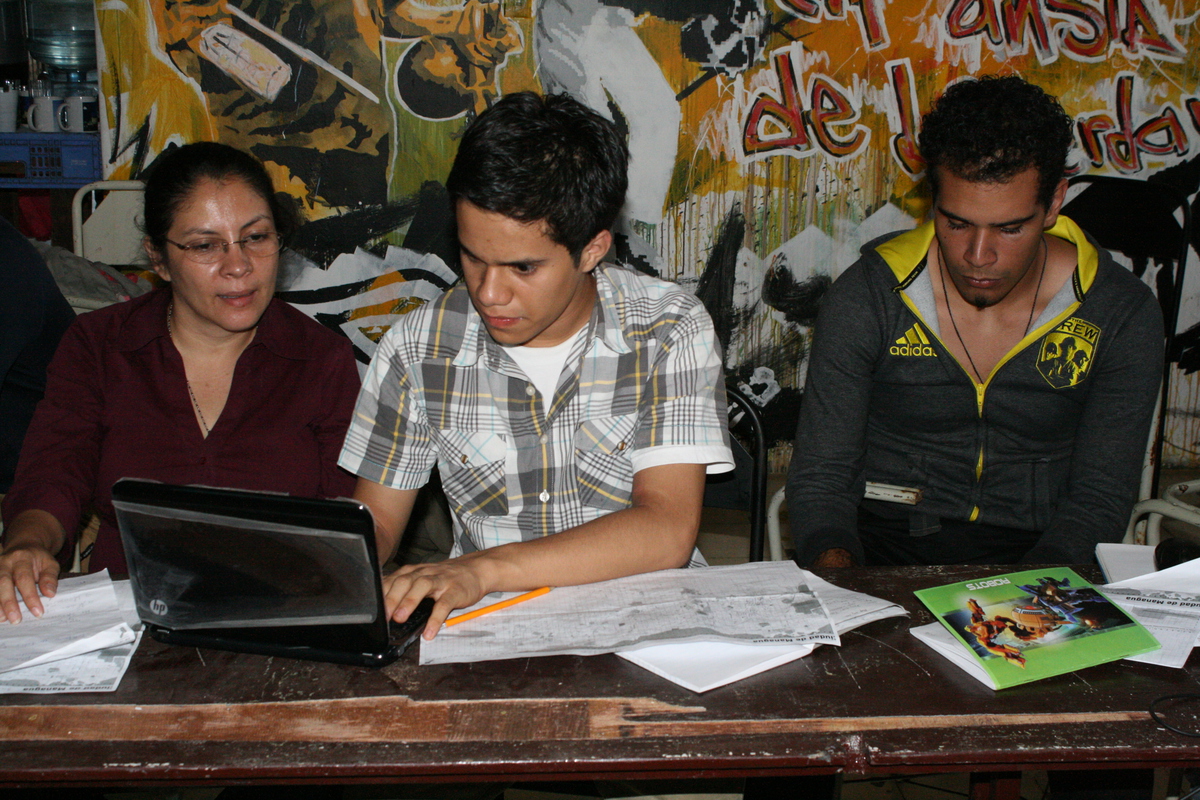
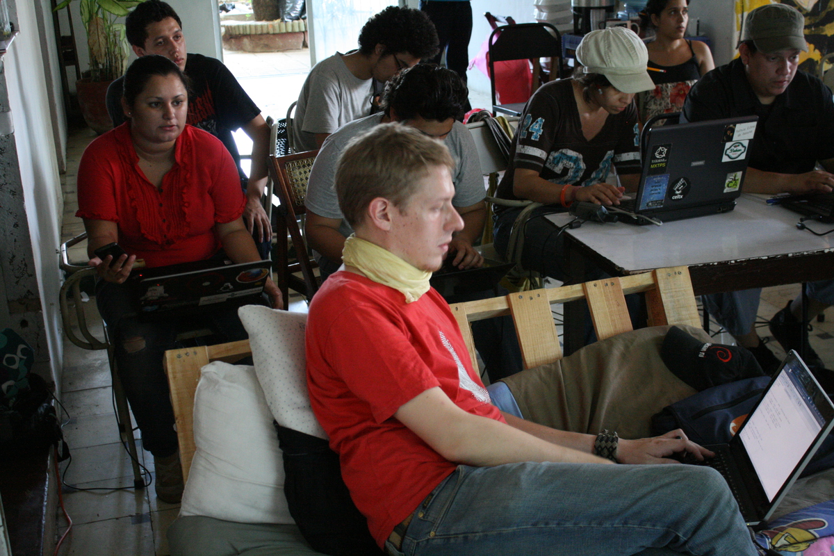
Altogether, 28 enthusiastic participants split up into nine groups, mapping a total of nine and a half bus lines. Each group was equipped with a printed map of Managua, pencils, a pencil sharpener and a GPS logging device, recording traces in two different ways. Since high precision was not required, we could easily use smartphones to track the routes of the buses.
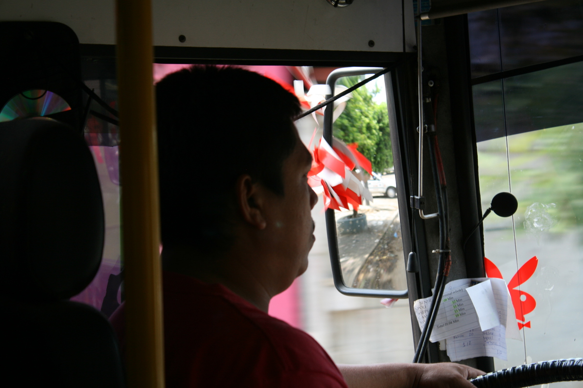
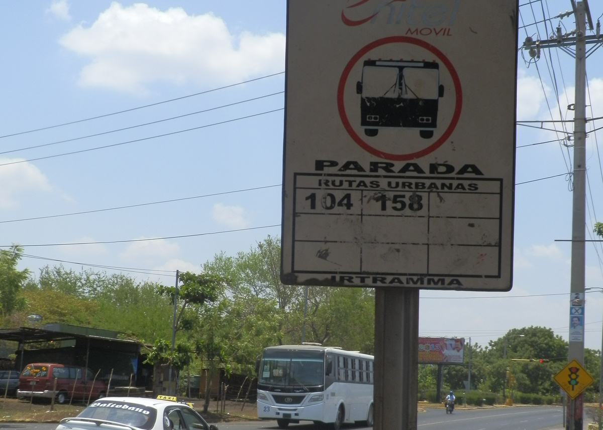
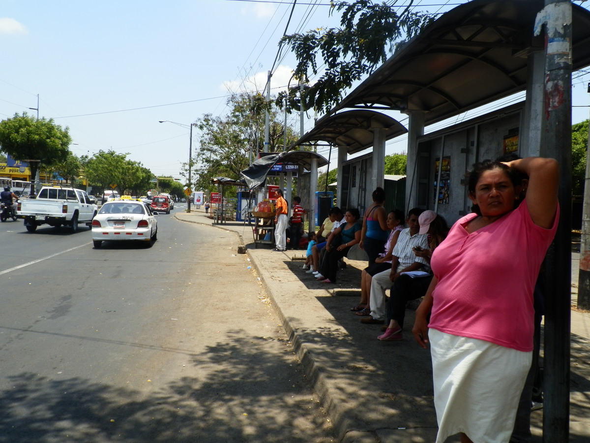
One expected challenge was determining the positions and names of bus stops. This is handled in a very flexible way in Nicaragua, though there are official or customary bus stops defined either by regulation or tradition. Having data on bus stops is the most important first step for any future routing functionality. Making friends with bus drivers was a helpful way to gather this information, and a great opportunity to talk about mapping, the city, and more than a few interesting stories about curious incidents on the buses.
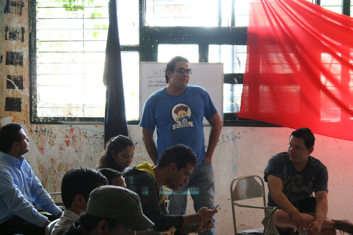
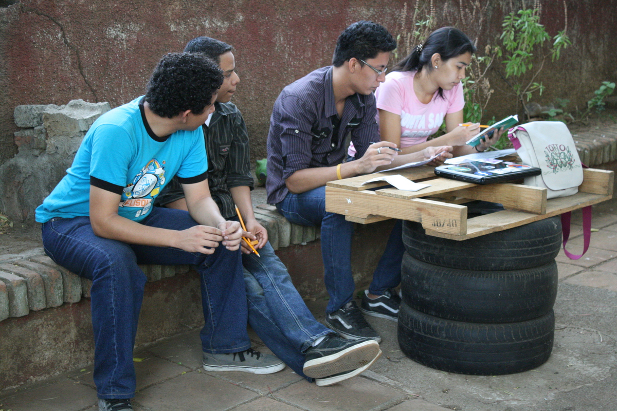
The teams are still in the process of populating the mapped information into OpenStreetMap. Status and more information can be found at the wiki page about bus routes in Managua.
It was a great day, everybody enjoyed it a lot and good progress has been made on the aim of mapping all the bus routes in Managua. A little community of mapping enthusiasts is starting to grow, and further mapping parties are planned, probably already next month. There is still work to do. Stay tuned…
   ]
]
 ]
]
 ]
]
 ]
]
 ]
]
 ]
]
 ]
]
 ]
]
 ]
]
 ]
]
 ]
]