Context
There was no map for the 45 bus lines in Metropolitan Managua, where about 80% of the 2 million inhabitants depend on buses to commute to work or school.
Description
A citizen initiative and open source community led by Felix Delattre changed this and created Central America’s first proper transit map using Free Technology, crowd-sourcing and crowd-funding methods.
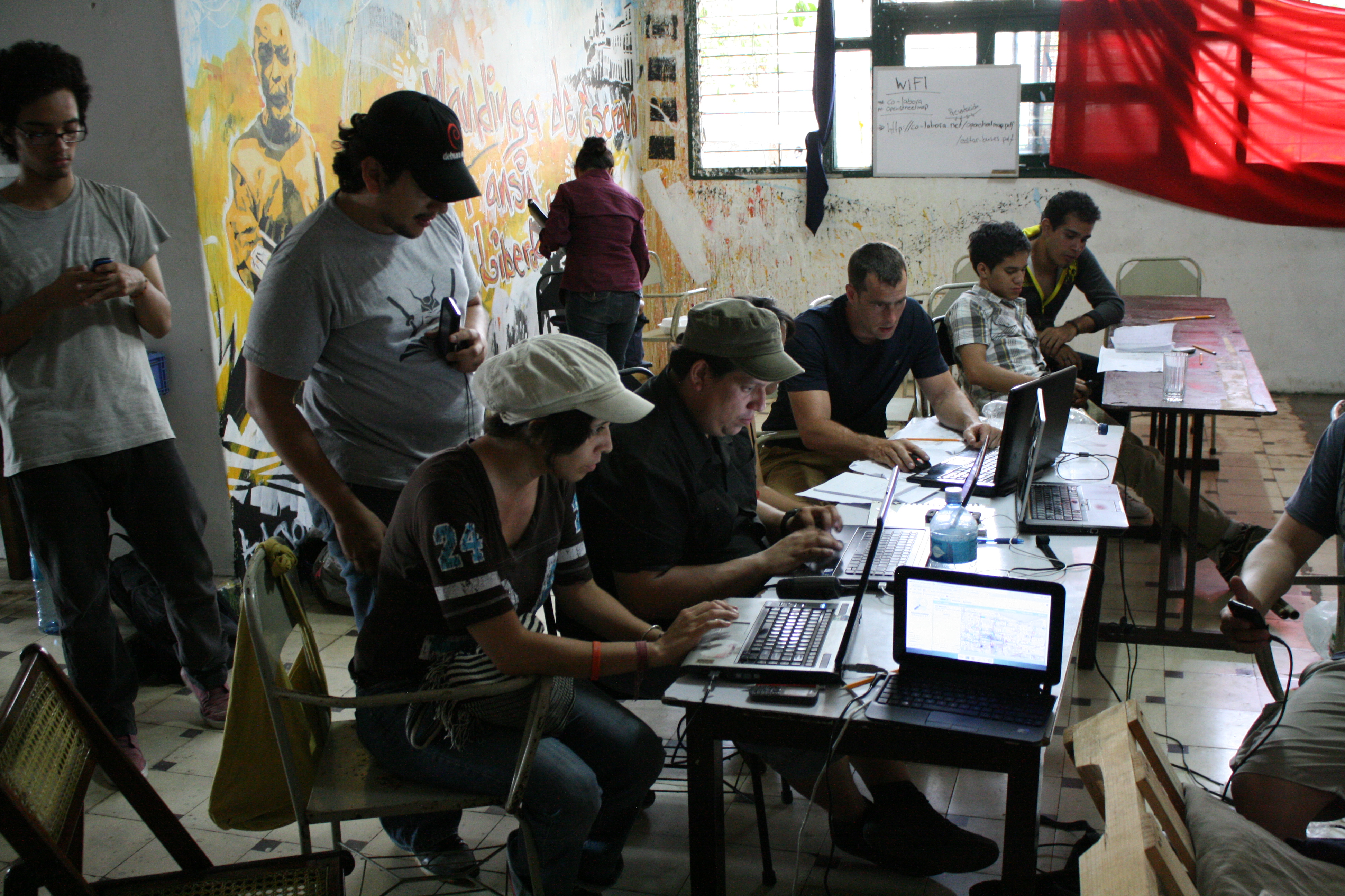
Felix Delattre organized many mapping parties (workshops) in Nicaragua. Over 150 volunteers learned about mapping and geo-information systems, gps devices and surveyed the public transportation network of the capital Managua and the nearby Ciudad Sandino.
Paper map
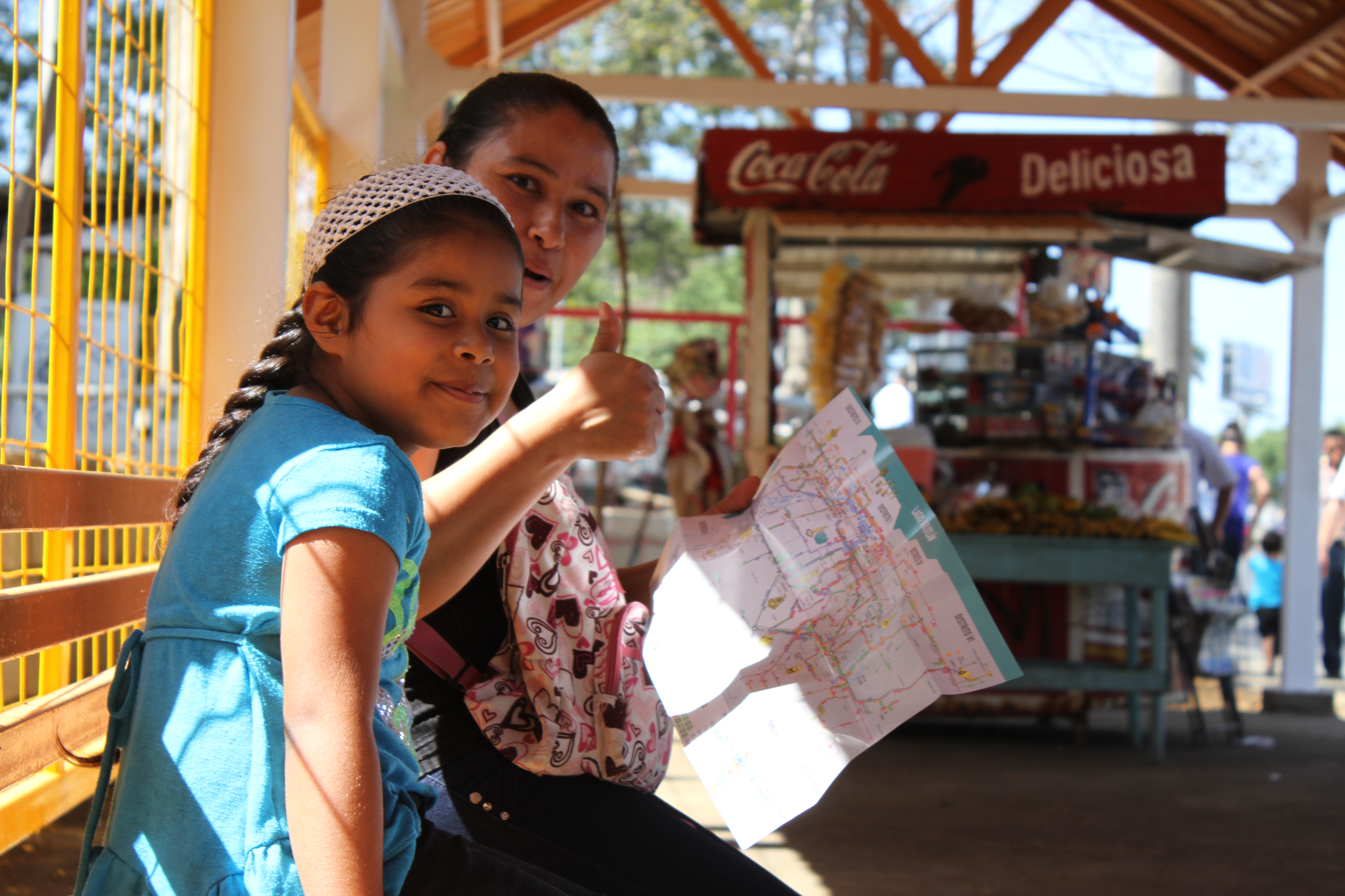
The paper map was designed hand-in-hand with Ninfus Design Studio. And a crowd-funding campaign in collaboration with the Humanitarian OpenStreetMap Team, an international organization, registered as non-profit in the USA helped to collect funds to print 40,000 maps and distribute it freely to the people.
Simple online map
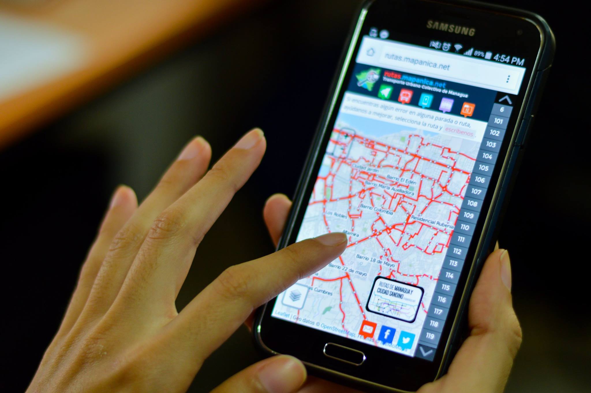
A simple web application can be reached online. It gives a clear overview of the data and allows people to give feedback and improve the data collaboratively.
Open Data
All data is available as Open Data. The raw data can be obtained from OpenStreetMap, but also our derivatives, such as geojson files or the paper map design in final and usable or raw vector formats are published. All can be downloaded by everyone, and it’s published under a free license that allows free use and modification.