Context
The Kyrgyz Mountains Environmental Education and Citizen Science project develops tools and activities for teachers and students to realize scientific investigations on the water resources around their villages. In order to be able to do proper analysis geographic information was needed but not available.
Description
During two weeks Felix Delattre conducted several mapping workshops from one to three days to empower a total of 100 teachers, high school and university students to create their own maps of their villages. A total of 10 villages were mapped by the people, under difficult technical conditions and a broad range of technical knowledge.
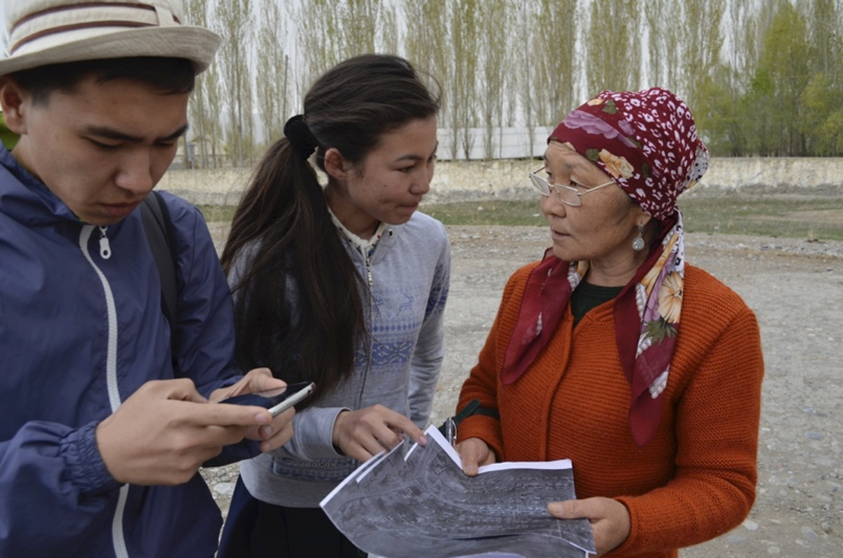
The people learned how to map their villages using printed papers and smartphones.
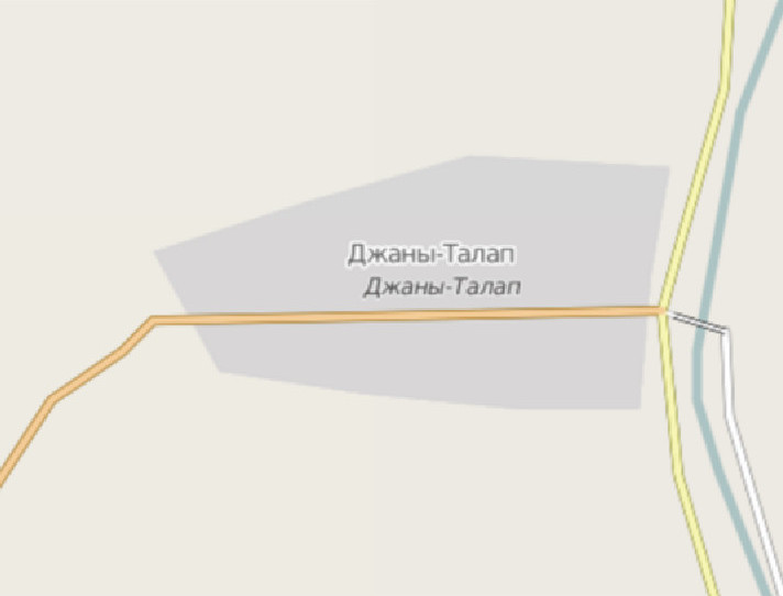
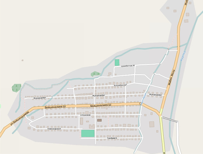
In only three days, a small group in each village surveyed the data and included information about their environment into OpenStreetMap.
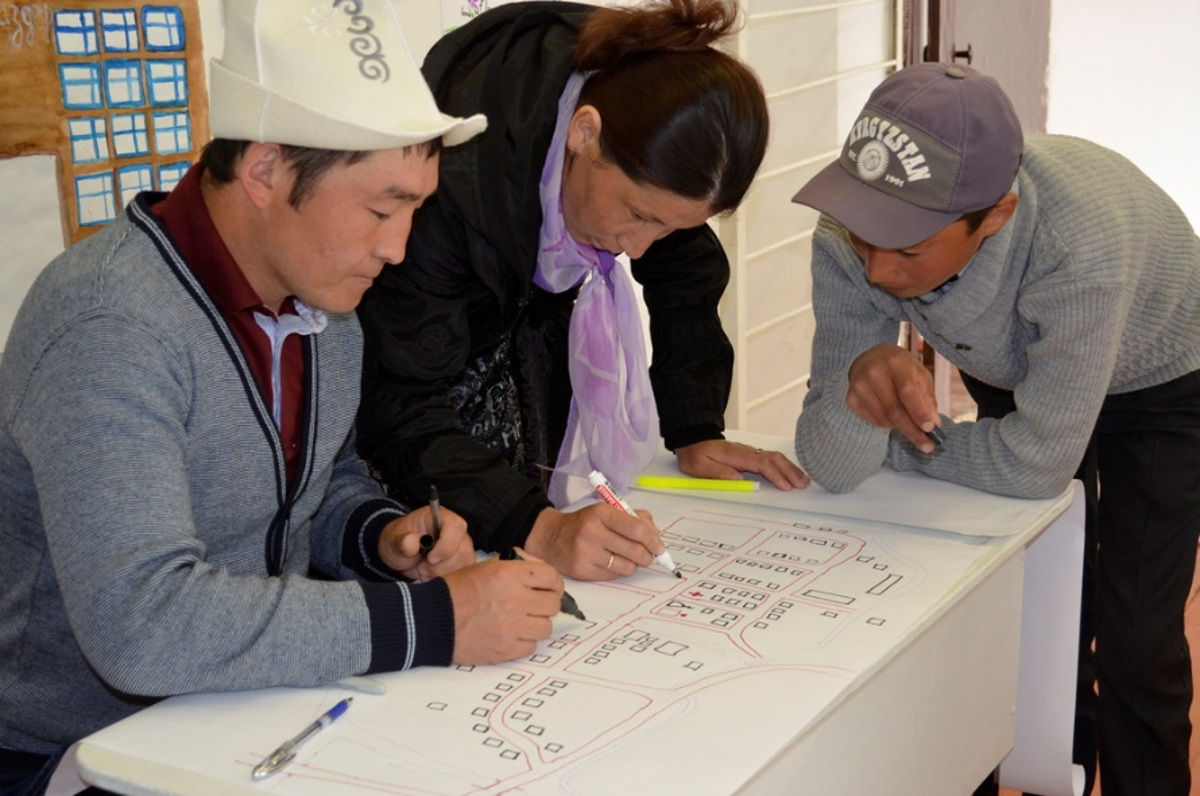
A lot of exercises about map creation and gathering information was done.
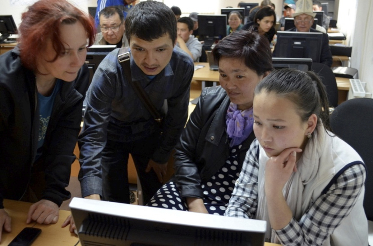
In local computer labs the people learned how to put the information into OpenStreetMap and how to create custom maps out of it.
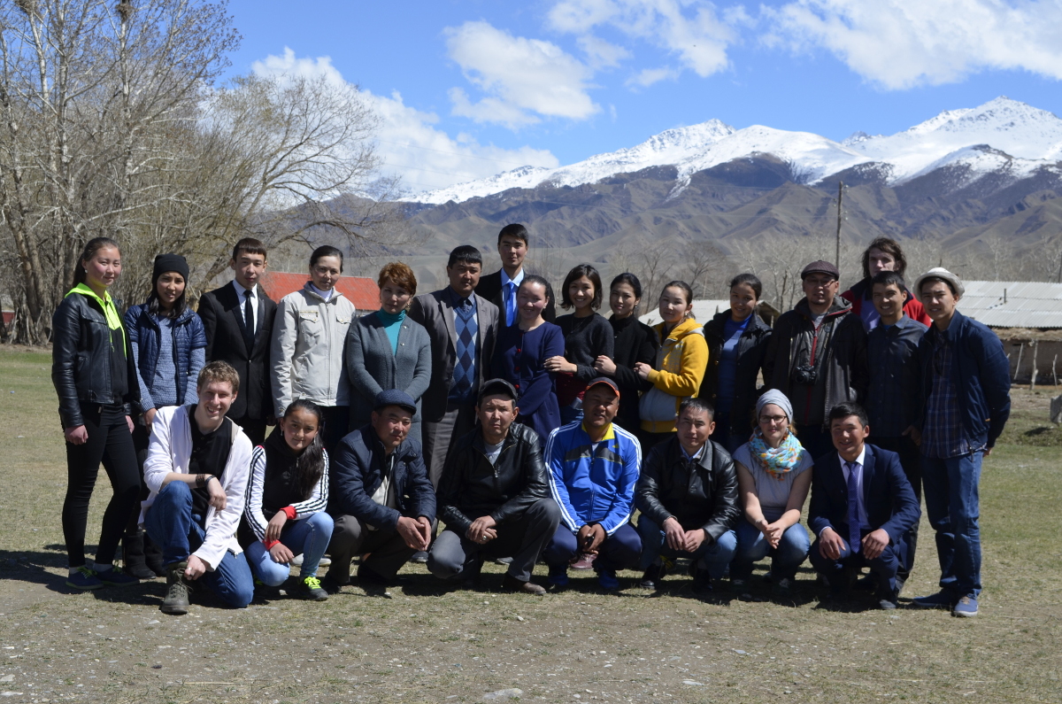
One of the several groups in one of the workshops.